Hurricane Lala nears Hawaii with 75 mph winds, flood risk
Hurricane Lala strengthened to 75 mph near the Big Island, bringing flood warnings, damaging winds and a rare direct landfall threat to Hawaii.
Ayla Demirhan ·
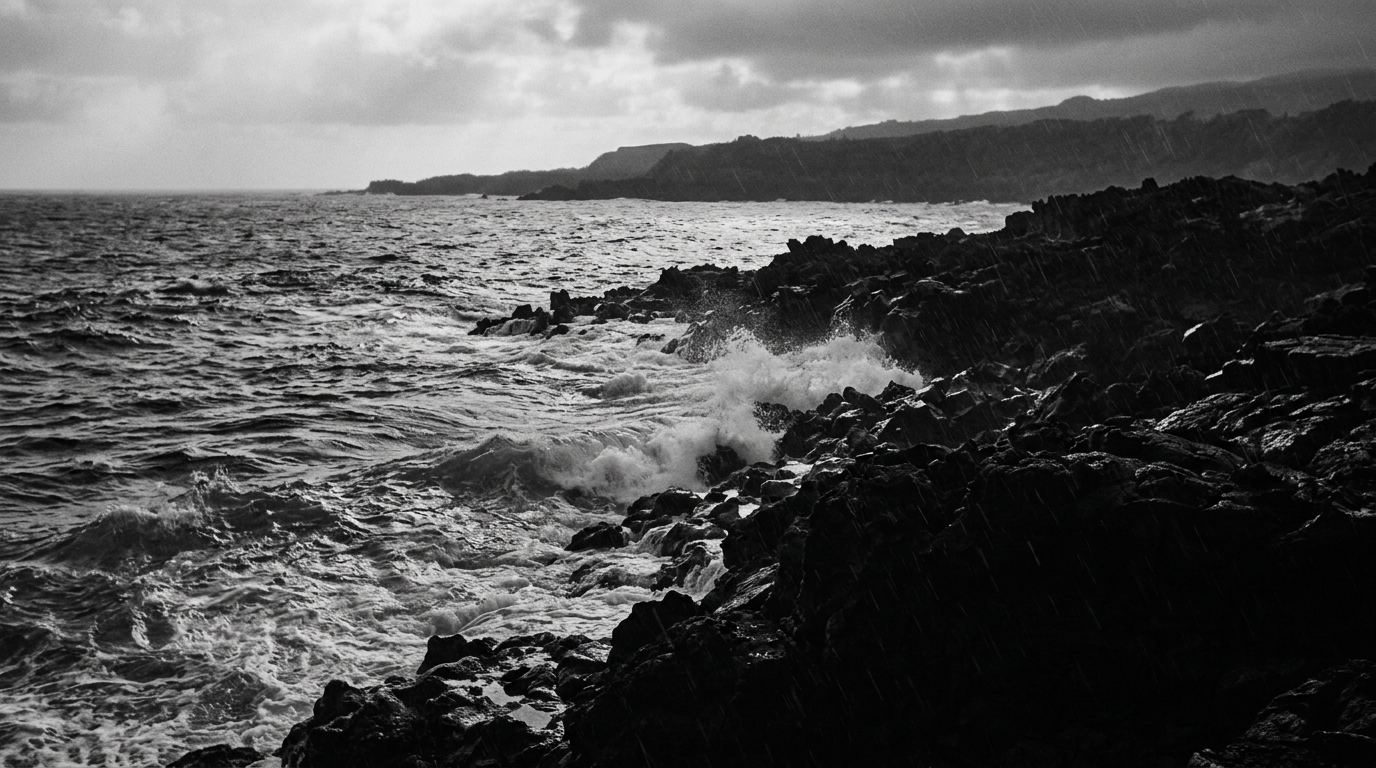
Hurricane Lala strengthened to 75 mph near the Big Island, bringing flood warnings, damaging winds and a rare direct landfall threat to Hawaii.
The National Weather Service said the storm became a hurricane at 9 a.m. local time Saturday after reaching 75 mph sustained winds. By 2 p.m., Lala was about 40 miles from the southern tip of Hawaii Island, later than earlier forecasts after its forward motion slowed.
Forecasters expected the center to pass near or over the Big Island around 4-5 p.m. local time. Ian Morrison, a meteorologist with the National Weather Service, said nearby communities would still face strong wind, thunderstorms and heavy rain even if the center wobbled offshore.
Eastern slopes take heavy rain
Rain was the main hazard identified by forecasters. Morrison said some eastern slopes of the Big Island had received as much as 12 inches by Saturday morning, compared with about 2 inches in lower-elevation areas.
The Weather Service forecast 10 to 20 inches across Hawaii Island, with isolated totals up to 25 inches. Maui and the rest of the island chain were expected to receive less, though some locations could still see up to 8 inches, enough to produce flooding and mudslides on steep terrain.
Hawaii Island’s mountains can lift moist air and intensify rainfall, increasing runoff into streams, roads and low-lying areas. The Weather Service warned that flash flooding could affect small creeks, highways, streets, underpasses and other poor-drainage locations.
Wind readings also showed how terrain was amplifying the storm. Instruments near Mauna Kea, Hawaii’s highest point at nearly 13,800 feet, recorded a 140 mph gust early Saturday afternoon, while Gemini Observatory measured 119 mph at 11:32 a.m. local time.
Hawaii faces rare landfall test
A direct strike on Hawaii Island would be the first recorded there, according to the storm history cited by forecasters. Since records began in 1949, only two hurricanes are known to have made landfall anywhere in the Hawaiian Islands: Dot in 1959 and Iniki in 1992.
Iniki, the last hurricane to make landfall in Hawaii, hit Kauai as a Category 4 storm in 1992. The current hurricane warning for Hawaii Island is the first there since Lane approached the state in 2018; the last hurricane warning anywhere in Hawaii was issued during Douglas in 2020, according to the National Hurricane Center.
The National Hurricane Center said Hawaii’s steep terrain could interrupt Lala’s circulation and make the final track hard to confirm immediately. That means a technical landfall determination may lag the storm’s strongest effects on residents, roads and utilities.
Winds spread beyond Hawaii Island
Lala was about 325 miles southeast of Honolulu while moving toward the Big Island at roughly 13 mph, Morrison said. The Weather Service said damaging winds were expected to spread westward to Oahu and Kauai later Saturday evening and Sunday.
Outside the Big Island, forecasters expected tropical-storm-strength conditions, including sustained winds of 35 to 45 mph and gusts up to 55 mph from Sunday into Monday. Morrison said those winds could bring power outages across the state, with trees down, coastal flooding, mudslides and dangerous surf also possible.
State officials asked residents to secure loose outdoor items, clear gutters and drains, move valuables off floors and prepare for outages. Residents and visitors were told to avoid beaches and coastal areas during rough surf and to follow evacuation orders if local authorities issue them.
Emergency order opens state funds
Gov. Josh Green declared a state of emergency on Friday and activated the state’s Major Disaster Fund. The order allows state agencies to coordinate response work and permits use of the Hawaii National Guard if needed.
If Lala’s center crosses the Big Island, the immediate mechanism is water and wind: saturated slopes, blocked roads and damaged power lines would drive the local disruption. If the center stays just offshore or weakens, the main risk would shift toward prolonged rainfall and uneven wind damage rather than a confirmed direct hit.
If the westward wind forecast holds, Maui County, Oahu and Kauai could see a second phase of outages and travel disruption after the Big Island absorbs the first impacts. The available warnings point to a state infrastructure and tourism shock rather than a global economic event, with utilities, airlines, hotels and emergency services carrying the clearest operational risk.