China Taiwan waters survey draws Taipei challenge in August
China Taiwan waters survey activity in August prompted Taipei to challenge Beijing's jurisdictional claims east of the island.
Lauren Collins ·
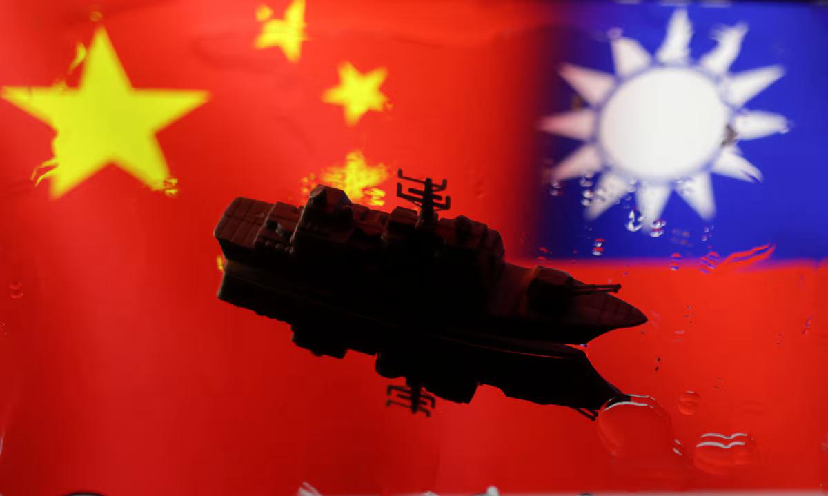
China Taiwan waters survey from August 10 to 31 drew a sovereignty challenge from Taipei as Beijing expanded activity east of the island.
China's Ministry of Natural Resources said the work was intended to support a single planning map for territorial management and resource administration. The ministry said the survey examined seabed geology and structural features in sea areas Beijing describes as under its jurisdiction.
The activity sits alongside a separate Chinese coast guard operation east of Taiwan on Thursday, which Beijing described as a routine law enforcement patrol. It was the third such patrol since June, according to Chinese authorities, giving Taipei another maritime episode to monitor around the island's Pacific side.
August survey tests Taipei
Taiwan's coast guard said it tracked the Chinese operation and defended the island's sovereignty, adding that Beijing had no jurisdiction over waters surrounding Taiwan. The agency also condemned the activity as harassment and political manipulation tied to China's claims over the island.
The latest operation followed an August 21 encounter in which Taiwan's coast guard said it warned and shadowed a Chinese research vessel in sensitive waters near the island. Taipei said that was the third appearance by the same vessel since May, a sequence it has treated as maritime pressure rather than ordinary scientific activity.
Taiwan's Mainland Affairs Council spokesman Liang Wen-chieh said polling conducted last month showed public distrust of such patrols. Liang said Beijing often presents the actions as lawful protection of Taiwanese interests, while the Taiwanese public does not see them that way.
Seabed data meets sovereignty
The survey matters because technical mapping can become part of a broader jurisdictional argument when rival governments disagree over authority at sea. Beijing says Taiwan is part of China and does not recognize sovereignty claims by the government in Taipei; Taiwan rejects those claims.
The waters east of Taiwan open onto the Pacific Ocean rather than the Taiwan Strait, placing the activity outside the area most commonly associated with cross-strait military signaling. For Taipei, that geography widens the enforcement problem: coast guard monitoring must account for Chinese vessels approaching from more than one maritime direction.
For Beijing's natural resources ministry, the immediate output is administrative: data that officials say will feed territorial planning and resource management. For Taiwan's coast guard, the immediate burden is operational: identifying Chinese vessels, shadowing them when ordered, and issuing warnings without turning an encounter into a collision or detention.
Patrols create sector risks
The maritime research sector is exposed because survey vessels can be treated either as scientific platforms or as tools of state policy, depending on who is judging the voyage. That ambiguity increases the chance that research activity, coast guard patrols and sovereignty messaging become difficult to separate.
The broader industry effect would fall first on marine survey operators, fisheries and enforcement agencies rather than on financial markets. No trade disruption, vessel seizure or collision was reported in the material available, so the macro channel for now is geopolitical risk perception rather than measurable damage to commerce.
If Beijing continues periodic surveys and patrols, the global macro effect would likely run through regional risk pricing and government planning assumptions, not through an immediate supply shock. The ministry would gain more seabed data for its mapping program, while Taiwan's coast guard and nearby maritime sectors would face more frequent monitoring and warning missions.
If Taipei's shadowing and public objections deter repeat entries, the near-term effect would be a lower operational tempo east of the island. In that scenario, Beijing's mapping effort would proceed more slowly in disputed areas, while marine operators would face fewer encounters but no resolution of the sovereignty dispute.
If encounters become more regular, the main open question is whether both sides keep them below the threshold of physical confrontation. That would determine whether the issue remains a contest over patrol patterns and survey data, or becomes a broader risk for regional maritime activity.