Wildfire smoke blankets US as severe storms hit East cities
Wildfire smoke from Canadian fires is degrading air across more than a dozen states as severe storms and flood risks target the East.
Ayla Demirhan ·
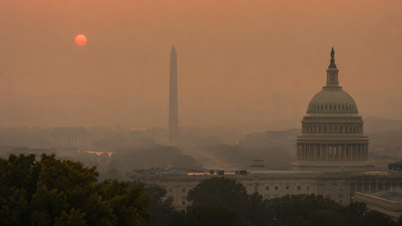
Wildfire smoke from Canada is degrading air in more than a dozen U.S. states as Saturday storms raise flood risks in the East.
Canadian fires feed haze
More than 900 wildfires are burning across Canada, sending smoke into the Northeast and Mid-Atlantic, according to the source information. Air quality alerts extend from the Upper Midwest and Great Lakes to New England, then south through the Northeast and Mid-Atlantic.
The smoke pattern is not uniform. A storm system moving through on Saturday could help clear some haze in the Northeast and Mid-Atlantic, while the Midwest and Upper Great Lakes are expected to face poor air quality through the weekend.
Northwesterly winds are the main transport mechanism in the central and northern tier. As that flow pushes the smoke plume into the region, communities downwind can see conditions worsen even when the fires themselves are hundreds of miles away.
The practical impact is a split-screen weather day. Some areas are dealing with unhealthy haze and reduced visibility, while others face fast-moving thunderstorms capable of producing damaging conditions within a few hours.
I-95 cities face storms
The Storm Prediction Center has issued a Level 3 of 5 severe storm risk for parts of the Ohio Valley, Northeast and Mid-Atlantic. The risk zone includes the Interstate 95 corridor, putting New York, Philadelphia, Baltimore and Washington, D.C., among the large cities that could be affected.
Pittsburgh, Cleveland and Buffalo are also expected to see strong storms. The threat includes damaging winds, hail, a few tornadoes and localized flash flooding where heavy rain overwhelms drainage or falls repeatedly over the same area.
Flood watches are in effect for parts of the Northeast, including New York City and Philadelphia, through Saturday evening. Heavy rainfall is the trigger risk, especially in dense urban corridors where pavement limits absorption and travel disruptions can build quickly.
The overlap between smoke and storms complicates public messaging. A thunderstorm can temporarily improve air by mixing the lower atmosphere, but the same system can create wind damage, power interruptions and flash flooding before conditions stabilize.
Monsoon moisture widens risk
Another moisture channel is expected farther west. Monsoonal moisture is forecast to extend from West Texas and southern New Mexico into central and northern Arizona and southern Utah, where daytime heating could trigger thunderstorms with heavy rainfall.
That setup carries a flash flood risk in areas vulnerable to rapid runoff. Desert and canyon terrain can turn short bursts of rain into dangerous flows, even when storms are scattered rather than widespread.
The severe storm threat also reaches parts of Virginia and the Carolinas. Charlotte, Raleigh and Virginia Beach are among the cities that could see scattered storms producing damaging winds and heavy rainfall.
If Saturday’s storm system moves through quickly, parts of the Northeast and Mid-Atlantic may see haze improve while storm cleanup becomes the immediate concern. If northwesterly winds persist over the Midwest and Upper Great Lakes, smoke could remain the weekend’s dominant hazard for outdoor activity and transportation visibility.
If heavy rain repeatedly tracks over urban or terrain-sensitive areas, flood watches could escalate into warnings. The next signals are updated air quality alerts, radar trends, severe thunderstorm warnings and wind shifts that determine where Canadian smoke travels next.