District releases Wetland Program Plan 2026–2030 to guide local waterway protection
The District of Columbia posted its official Wetland Program Plan 2026–2030 on DC.gov, establishing a five-year framework to guide wetland protection and m…
Sophie McAlister ·
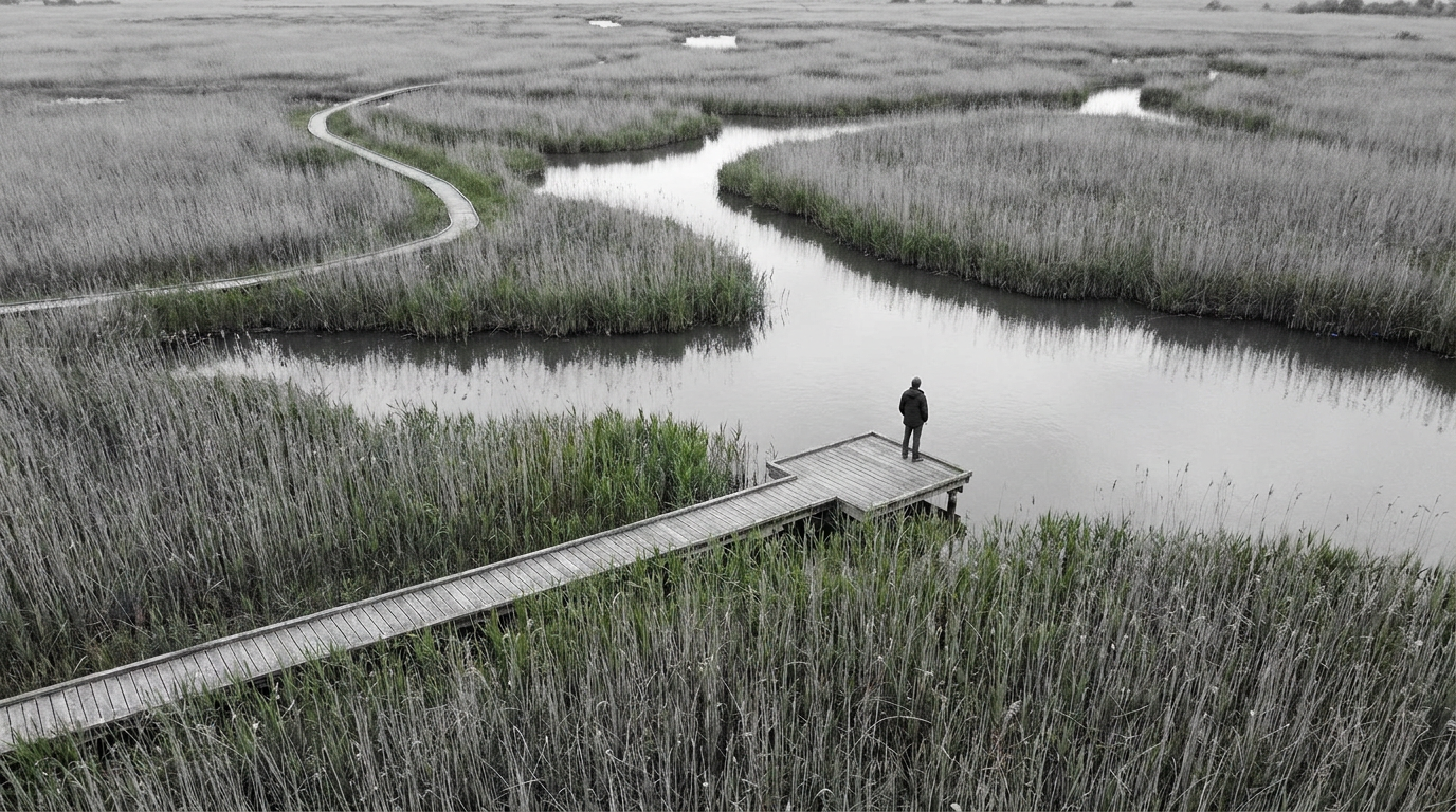
The District of Columbia government has published the District of Columbia Wetland Program Plan 2026–2030 on DC.gov, laying out the city’s official framework for wetland protection and management over the next five years. The document, posted by the District, sets program-level goals and is intended to guide local agencies, planners, developers, and community stakeholders working on waterways, green infrastructure and land-use projects within the city.
Wetlands and tidal edges inside the District are small in acreage but central to stormwater management, flood resilience and habitat for urban wildlife. The new plan signals a renewed, citywide approach to how those features will be assessed and managed across neighborhoods and public properties. Officials and local groups will likely use the plan to coordinate restoration projects, monitoring efforts and educational outreach.
Plan purpose and scope
The plan covers the District’s wetland program strategy for the 2026–2030 period. It is presented as the District’s official guidance for activities related to wetland identification, condition assessment, and ongoing stewardship within city boundaries. The document is hosted on the District’s official website and is now part of the public record for local environmental planning.
By publishing the plan on DC.gov, the District is making an explicit statement about its intent to manage wetlands as part of broader urban resilience and water-quality goals. The planning period aligns with other municipal planning cycles and will intersect with adjacent efforts on stormwater, green infrastructure, and shoreline management handled by District agencies and partner organizations.
Implications for neighborhoods and projects
Neighborhood planning, development permitting and infrastructure projects that touch riparian corridors, ponds or tidal marshes will now be reviewed against the new program framework. Community groups and environmental organizations can cite the plan when proposing local restoration projects or seeking District resources. The plan also provides a common reference point for federal, District and nonprofit partners working on Anacostia and other urban waterways.
While the document itself sets goals and programmatic direction, its practical impact will depend on implementation steps, agency coordination and capital or operating funding allocated in coming budgets. Local developers, civic associations and advisory commissions should expect the plan to inform permit reviews and grant priorities.
Public access to the plan allows residents and stakeholders to review the District’s stated priorities for the five-year period and to prepare comments or project proposals that align with the program’s objectives.
Watch for how the District sequences implementation, funding decisions and interagency coordination. Those follow-up actions will determine whether the plan produces measurable wetland restoration, improved monitoring, or stronger protections in the neighborhoods that border the city’s waterways.