NASA Adds Wyvern Hyperspectral Satellite Data to Commercial Earth Observation Program
NASA has integrated Dragonette satellite hyperspectral data into its commercial program to enhance environmental monitoring for researchers.
Jason Kwon ·
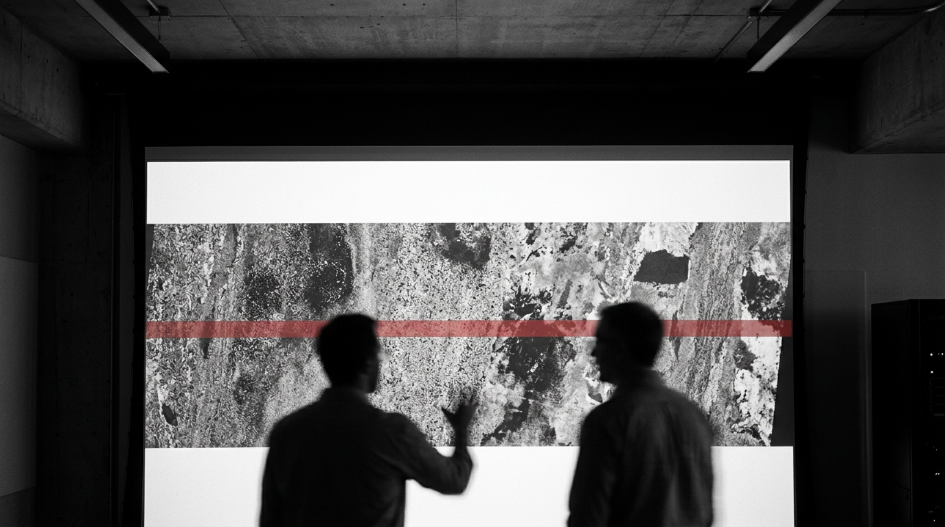
The National Aeronautics and Space Administration (NASA) integrated high-resolution hyperspectral imagery from Wyvern's five-satellite Dragonette constellation into its commercial data program, granting federal researchers access to a 6.6 million square-kilometer archive. The data will support environmental monitoring and Earth observation research.
The Commercial Satellite Data Acquisition (CSDA) program added the datasets to enable the detection of subtle biophysical and geochemical changes. The imagery supports detailed analysis of vegetation health, soil composition, and water quality metrics that impact global ecosystems.
Dragonette constellation capabilities and spectral bands
The Wyvern Dragonette constellation utilizes visible near-infrared (VNIR) sensors to deliver imagery with a 5.3-meter ground sample distance. Satellites in the network capture data across up to 31 pre-defined spectral bands. The system provides an average revisit time of 1.6 days at the equator and 0.7 days at 60 degrees latitude.
The constellation operates at an orbit of approximately 530 kilometers, varying slightly by individual satellite. The imaging sensors feature 10-bit depth and generate an image scene swath width of 20 kilometers at nadir, with an imageable latitude range from 82 degrees north to 82 degrees south.
Data product formats and licensing restrictions
The program provides access to a growing archive exceeding 8,500 hyperspectral images covering every inhabited continent. Wyvern delivers data in Level 1B and Level 2A product formats. Level 1B data utilizes 32-bit floating-point formatting for top-of-atmosphere radiance, while Level 2A provides 16-bit unsigned integer formats for surface reflectance.
The National Aeronautics
All newly awarded commercial data provider products are currently undergoing standard CSDA evaluation. The downloaded datasets utilize Cloud-Optimized GeoTIFF raster file formats alongside STAC text metadata files, maintaining a geolocation accuracy of 25 to 100 meters over land.
Access to the datasets remains restricted to authorized personnel under specific End User License Agreements, beginning at the minimum USG license tier. Authorized users include federal employees, government contractors, and U.S. government-funded academic researchers, with all data requests requiring formal review and approval by the CSDA program office.