NASA Integrates OroraTech Thermal Satellite Data for Environmental Monitoring
NASA has added thermal infrared satellite data from a commercial provider to its CSDA program to enhance wildfire monitoring, urban heat mapping, and…
Jason Kwon ·
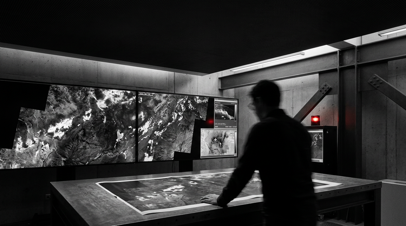
The US space agency has added commercial datasets from OroraTech to its Commercial Satellite Data Acquisition (CSDA) program, expanding its capacity to monitor wildfires and land surface temperatures. The integration provides authorized federal and academic users with high-frequency multispectral data observing the midwave and longwave infrared bands.
OroraTech operates an active satellite constellation equipped with SAFIRE thermal infrared imagers. The system currently provides up to twice-daily coverage, with the company projecting revisit intervals as short as 15 minutes for future deployments planned through 2030.
Wildfire Detection and Orbital Processing
Available data products include Level 1 thermal imagery, near real-time active fire detections, and land surface temperature measurements. The constellation utilizes on-orbit edge processing, operating at up to 21 TOPS, which optimizes the satellites for rapid image processing and artificial intelligence applications before data reaches the ground.
Applications for the newly acquired data span emergency response for wildfires, urban heat mapping, agricultural water-stress monitoring, and broader meteorological research. Access remains restricted to authorized personnel, including federal employees, government contractors, and government-funded academic partners, all of whom must adhere to specific end-user license agreements.
All newly awarded commercial data products undergo standard CSDA evaluation before broad internal deployment, and researchers are required to formally acknowledge the program in any resulting scientific publications.