Warm Yellow Sea Fuels South Korean Storms, Raising Flood Risk
Abnormally high sea surface temperatures in the Yellow Sea are intensifying rainfall across South Korea as extreme weather patterns persist globally.
Lauren Collins ·
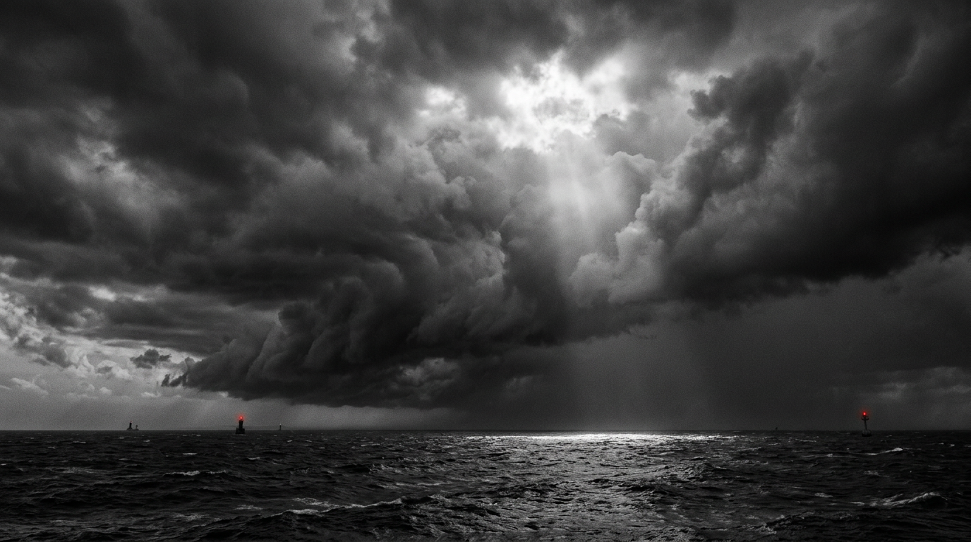
South Korean authorities are preparing for severe weather as heavy rainfall is forecast to exceed 200mm in central and northern regions through Monday. The precipitation stems from thunderstorms originating over the Yellow Sea, where surface temperatures have reached 29C, 4C above the climatological average.
This weather event involves the transfer of thermal energy from the unusually warm sea surface to the atmosphere. This process increases moisture content and strengthens storm intensity as the systems move eastward, potentially causing significant regional disruption before the weather pattern eases on Tuesday.
Global Weather Patterns Intensify
Broader meteorological trends indicate heightened activity across the Broader meteorological trends indicate heightened activity across the Pacific basin, with multiple tropical systems developing near the Philippines and China. Simultaneously, extreme heat persists in Europe, where temperatures in central and southern regions are forecast to reach 10C above seasonal averages by the end of the week.
In Bosnia and Herzegovina, mercury levels are projected to approach 40C, nearing historical records set in 2007. This persistent heat across Europe marks an extension of its record-breaking meteorological summer.