Eastern Australia Faces Record Spring Heat, Snow Extremes
Sydney anticipates its warmest early spring on record, reaching 33°C, while southern New South Wales expects snow, driven by El Niño conditions.
Lauren Collins ·
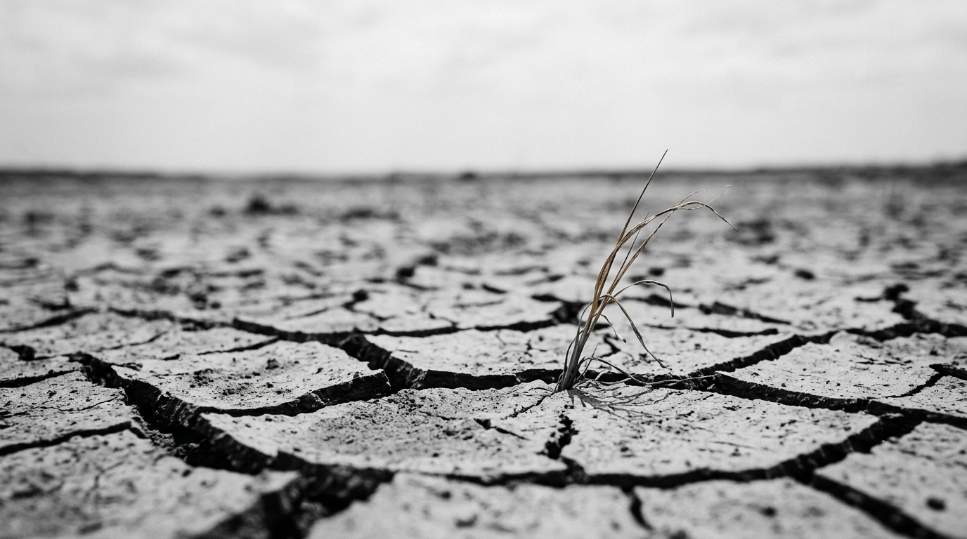
Sydney is preparing for what officials predict will be its warmest start to spring on record, with temperatures forecast to hit 33 degrees Celsius this weekend. This figure represents the highest early spring temperature ever recorded at Observatory Hill since observations began in 1858. Meteorological experts attribute this unusual warmth to a strong north-westerly airstream, which is elevating temperatures approximately 13 degrees above the seasonal average for the region. As a direct consequence of the extreme fire danger, a total fire ban has been declared across the wider Sydney metropolitan area.
The prevailing atmospheric conditions involve a robust north-westerly air flow originating from Australia's northern interior. This air current is channeling significant heat directly across the New South Wales coast, creating a stark thermal contrast across the continent. While Sydney braces for scorching conditions, a cold front is simultaneously affecting southern New South Wales, where snowfall is anticipated at the Thredbo ski fields. Forecasts indicate temperatures in this southern area could drop to -1 degree Celsius, highlighting the divergent weather phenomena occurring simultaneously.
Widespread Climatic Instability Across the Continent
Beyond the immediate heat and snow events, the broader Australian continent is grappling with a period of significant climatic instability. Forecasts include damaging winds for South Australia, while both Victoria and Tasmania face increasing risks of flooding. This volatile commencement to the season is occurring amid a strengthening El Niño event in the Pacific Ocean. This oceanic-atmospheric phenomenon is projected to persist through 2027, signaling a prolonged period of potential weather extremes.
Historically, El Niño events are associated with an elevated likelihood of heatwaves, extended drought conditions, and a higher incidence of bushfires across eastern Australia. Emergency services have consequently issued heightened fire risk warnings across multiple states, including Queensland, Victoria, and Tasmania. The confluence of these factors points to a complex and challenging environmental outlook for the country in the coming months and years.
El Niño's Intensifying Influence and Future Projections
The current El Niño cycle is a critical driver behind these extreme weather patterns. Characterized by warmer-than-average sea surface temperatures in the central and eastern tropical Pacific, El Niño significantly alters global weather patterns. For Australia, a strong El Niño typically translates to reduced rainfall and higher temperatures, particularly exacerbating conditions conducive to bushfires and drought in eastern regions. The anticipated persistence of this event through 2027 suggests that communities and ecosystems will need to adapt to more frequent and intense weather extremes over an extended period.
The record-breaking heat in Sydney, combined with unseasonal snow in other parts of New South Wales, powerfully illustrates the intense and localized impacts that can emerge within a broader climatic shift. Authorities are closely monitoring conditions, urging residents in affected areas to remain vigilant and adhere strictly to all safety advisories issued by emergency services to mitigate risks.