July Fourth in D.C. Could Feel Like 100-Plus Degrees
Washington is headed into several days of dangerous heat, with highs near or above 100 degrees and thunderstorms possible around July Fourth.
Sophie McAlister ·
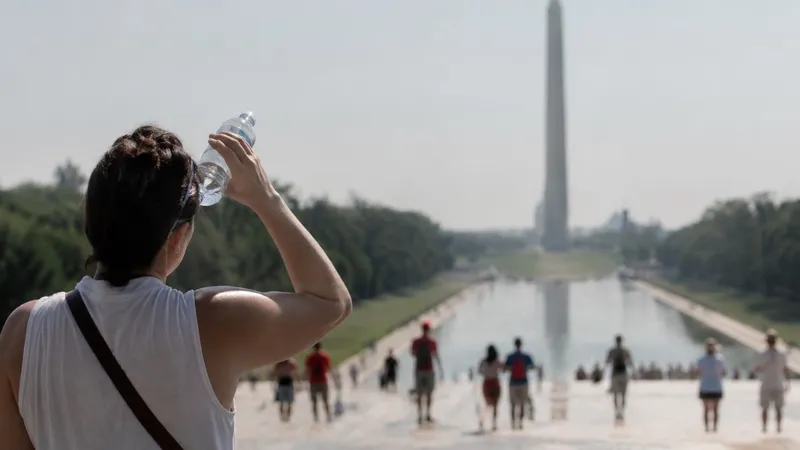
A 102-Degree Holiday Week
Washington is entering a dangerous stretch of summer weather, with temperatures forecast to climb from the low 90s on Tuesday to around 99 degrees Wednesday and 102 degrees Thursday and Friday. The heat is expected to remain in place through the July Fourth weekend, with Saturday forecast near 99 degrees and Sunday near 102. Humidity will make the air feel hotter than the thermometer suggests, raising health risks for people outdoors for work, travel or holiday events.
Heat Dome Locks In
The shift comes as a broad zone of high pressure builds over the eastern United States, trapping heat and humidity across the Mid-Atlantic and Northeast. The National Weather Service says dangerous, potentially record-breaking heat will intensify across much of the central and eastern U.S. this week, with heat index values likely above 100 degrees. For the D.C. region, the most punishing period is expected from Wednesday through the weekend.
Morning Fog Gives Way
The start of the week is less severe, with Tuesday forecast at 91 degrees in Washington under hazy sun. That near-normal early-week pattern will not last. By Wednesday, the combination of stronger sun, stagnant air and higher humidity is expected to push conditions into a more hazardous category. Nights will also stay warm, limiting relief for people without reliable air conditioning.
Outdoor Crews Face the Brunt
The immediate burden falls on construction workers, delivery drivers, commuters, unhoused residents, older adults and people with medical conditions. Heat becomes more dangerous when it lasts for several days because the body has less time to recover overnight. People attending cookouts, parades or fireworks should plan for shade, water and breaks indoors, especially during the hottest afternoon hours. Pets and children are also at higher risk in vehicles and on pavement.
Storms Threaten Fireworks Windows
The holiday forecast is not only about heat. Saturday brings a risk of heavy afternoon thunderstorms, with damaging winds and downpours possible in parts of the region. Earlier local forecasts also pointed to scattered evening storms that could affect fireworks viewing, especially if storms develop between late afternoon and nighttime. The forecast does not point to a full-day washout, but outdoor plans may need quick adjustments.
Eastern U.S. Heat Stress
Washington is part of a wider heat event stretching across the eastern half of the country. Similar warnings and heat risks are appearing from the Mid-Atlantic into the Northeast, where humidity is expected to push “feels-like” readings well above actual air temperatures. That matters for power demand, transit systems, emergency services and hospitals, all of which face pressure during long heat waves.
Thunderstorm Timing Is the Risk
The main uncertainty is storm timing. A small shift in when storms form could determine whether July Fourth fireworks, concerts and late-day gatherings proceed normally or face delays. Heat confidence is higher than storm confidence, meaning residents should prepare for dangerous temperatures regardless of whether rain arrives. The safest assumption is a hot holiday period with a meaningful chance of disruptive storms by Saturday afternoon and evening.