Michigan Winter Storm Forecasts Blizzard, Ice
Michigan prepares for a major winter storm from March 15-17, bringing blizzards to the Upper Peninsula and ice to Northern Lower Michigan.
Ayla Demirhan ·
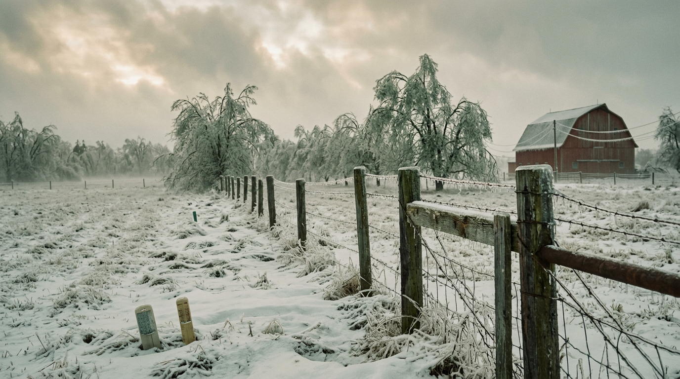
Michigan is preparing for a substantial winter storm system expected to bring blizzards, ice, and heavy snowfall across various parts of the state from Sunday, March 15, through Tuesday, March 17. The severe weather conditions are anticipated to significantly disrupt travel and infrastructure, particularly in the Upper and Northern Lower Peninsulas.
### Upper Peninsula Blizzard Warning
The Upper Peninsula faces the most severe conditions, with forecasts indicating a major blizzard. Residents and authorities are bracing for snow accumulations ranging from 18 to 36 inches. Accompanying these heavy snowfalls are projected wind gusts reaching up to 50 miles per hour, which are expected to create whiteout conditions and make travel extremely hazardous.
Officials have warned that roads in the Upper Peninsula could become impassable, with disruptions potentially lasting until at least Tuesday.
### Northern Lower Michigan Ice Storm Threat
Further south, Northern Lower Michigan, encompassing regions such as Mancelona and Traverse City, is under an ice storm warning. This area is predicted to experience significant freezing rain, with accumulations potentially reaching between one-half and three-quarters of an inch. Such ice buildup, combined with wind gusts up to 45 miles per hour, poses a high risk of widespread power outages and substantial damage to trees and power lines.
The peak impact of the ice storm is expected to occur by Monday afternoon and continue into the night.
### Central and Southern Michigan Weather Shift
Central and Southern Lower Michigan will experience a different weather pattern. The initial phase of the storm on Sunday will bring rain showers, with a possibility of isolated, low-end severe thunderstorms. However, a significant temperature drop is forecast for Monday morning, with highs in the 40s and 60s on Sunday plummeting to below freezing by Monday noon. This temperature shift will lead to a transition from rain to snow, with these areas potentially receiving 1 to 3 inches of snow.
### Public Safety and Preparedness
Authorities are urging residents across Michigan to prepare for the impending severe weather. This includes securing emergency supplies, charging electronic devices, and making alternative travel arrangements. The potential for widespread power outages, particularly in Northern Lower Michigan, necessitates preparations for extended periods without electricity.
Road closures and hazardous driving conditions are expected to be prevalent, and non-essential travel is strongly discouraged throughout the affected regions. The storm's multi-day duration and varied impacts across the state underscore the need for continuous monitoring of local weather advisories and emergency service directives.
Implications
Country Impact: The severe weather in Michigan could temporarily disrupt regional supply chains and transportation networks, impacting local commerce and potentially causing minor delays for goods moving through the Great Lakes region. Emergency services will be stretched, requiring federal and state coordination.
Industry Impact: Utility companies in Michigan face significant challenges, with widespread power outages anticipated due to ice accumulation and high winds. The agricultural sector may experience delays in early spring preparations, while the transportation industry will contend with road closures and hazardous conditions.
Market Impact: Local markets for essential goods may see increased demand ahead of the storm. Insurance claims related to property damage and power infrastructure could rise. Energy markets might see a temporary spike in demand for heating fuels in affected areas, though the overall impact on national energy prices is likely minimal.