Satellite Imagery Shows Gaza Destruction
Satellite imagery from May 2026 reveals widespread destruction in southern Gaza, with residential areas, infrastructure, and agricultural lands razed.
Lauren Collins ·
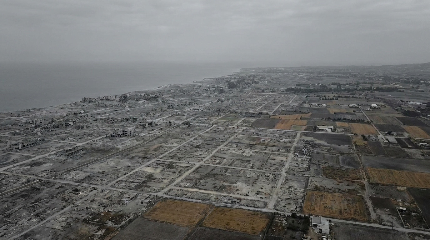
Satellite imagery updated on Google Earth on May 31, 2026, reveals extensive destruction across southern Gaza, indicating a significant alteration of the landscape following Israeli military operations. The imagery, captured on February 25, 2026, shows that major residential areas, infrastructure, and agricultural lands have been razed, with some locations converted into military outposts.
In Khan Younis, the Sheikh Mohammed cemetery has been replaced by an Israeli military outpost. Residential centers such as the Saudi neighborhood in Tal as-Sultan, a 752-unit housing project in Rafah, have been flattened. The Swedish village in Rafah, formerly home to approximately 1,300 people, has been transformed into a military zone with only five houses remaining. The Rafah border crossing's civilian infrastructure has been replaced by fortified Israeli military observation posts.
Educational institutions have also sustained severe damage. UNICEF reports that over 97 percent of schools have been damaged or destroyed, affecting 658,000 children. The Islamic University of Gaza and Al-Azhar University, which collectively served over 36,000 students, have been leveled. Agricultural areas in Rafah and Khan Younis, previously supplying over 40 percent of Gaza's daily domestic food needs, are now extensively damaged.