Cyclone Narelle: Perth Coast Faces Re-intensifying Threat
Cyclone Narelle may strengthen again over the Indian Ocean and could affect Western Australia, including Perth, by the weekend.
Ayla Demirhan ·
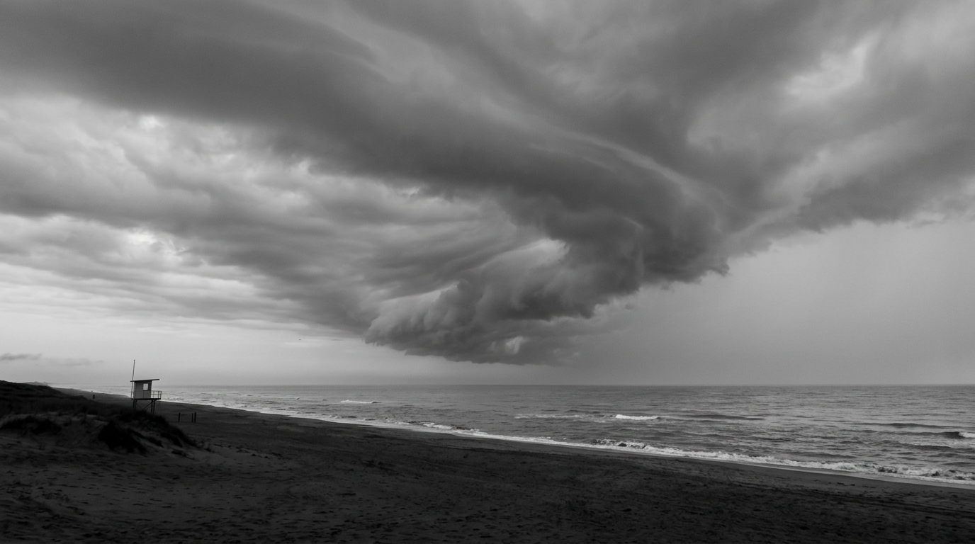
Australia’s Bureau of Meteorology (BoM) says ex-Tropical Cyclone Narelle, which weakened into a tropical low after soaking parts of the Northern Territory, is expected to strengthen again over the Indian Ocean. Forecast guidance indicates Western Australia’s coastline—including the broader Perth region—could be exposed by the weekend, though the exact track and intensity remain uncertain.
The system has already produced heavy rainfall inland, with more than 100mm recorded in parts of the Northern Territory. BoM issued minor to major flood warnings for communities including Daly River, Adelaide River, and Katherine, and some sections of the Stuart Highway were closed.
Track and timing: what BoM expects next
BoM expects Narelle to move off the continent into the Indian Ocean by Tuesday evening. From there, it is forecast to head south while running roughly parallel to the Western Australian coast.
BoM projections indicate the system could redevelop into a severe tropical cyclone by Wednesday evening. It may reach Category Four strength offshore by Thursday, with forecasters linking the potential strengthening to extended time over warm ocean waters.
Potential impacts for Western Australia
Meteorologists expect that by Friday the system is likely to edge closer to central and southern parts of Western Australia. Whether it crosses the coast over the weekend—and how strong it is at that point—remains less clear in current forecasts.
If the system approaches land, BoM warns it could bring damaging winds at gale force, with gusts up to 100 km/h, alongside heavy rain. That combination raises the risk of flash flooding and river flooding, particularly where catchments are already vulnerable after earlier rainfall.
Why this event is drawing attention
The storm’s path is notable because an east-to-west crossing of the Australian continent is described as relatively uncommon. The last comparable crossing cited by meteorologists was Cyclone Steve in 2000.
For markets and public planning, the key issue is timing: a potential coastal threat by the weekend compresses preparation windows for households, logistics operators, and essential services. The uncertainty around landfall also complicates decisions for ports, freight routes, and insurers that rely on clearer track confidence.