CSIS maps PRC maritime and air pressure on Taiwan in new "Geometry of Coercion" report
CSIS released a new analysis mapping the PRC's maritime and air pressure on Taiwan, tracking patterns of sustained activity around the island. The Washingt…
Sophie McAlister ·
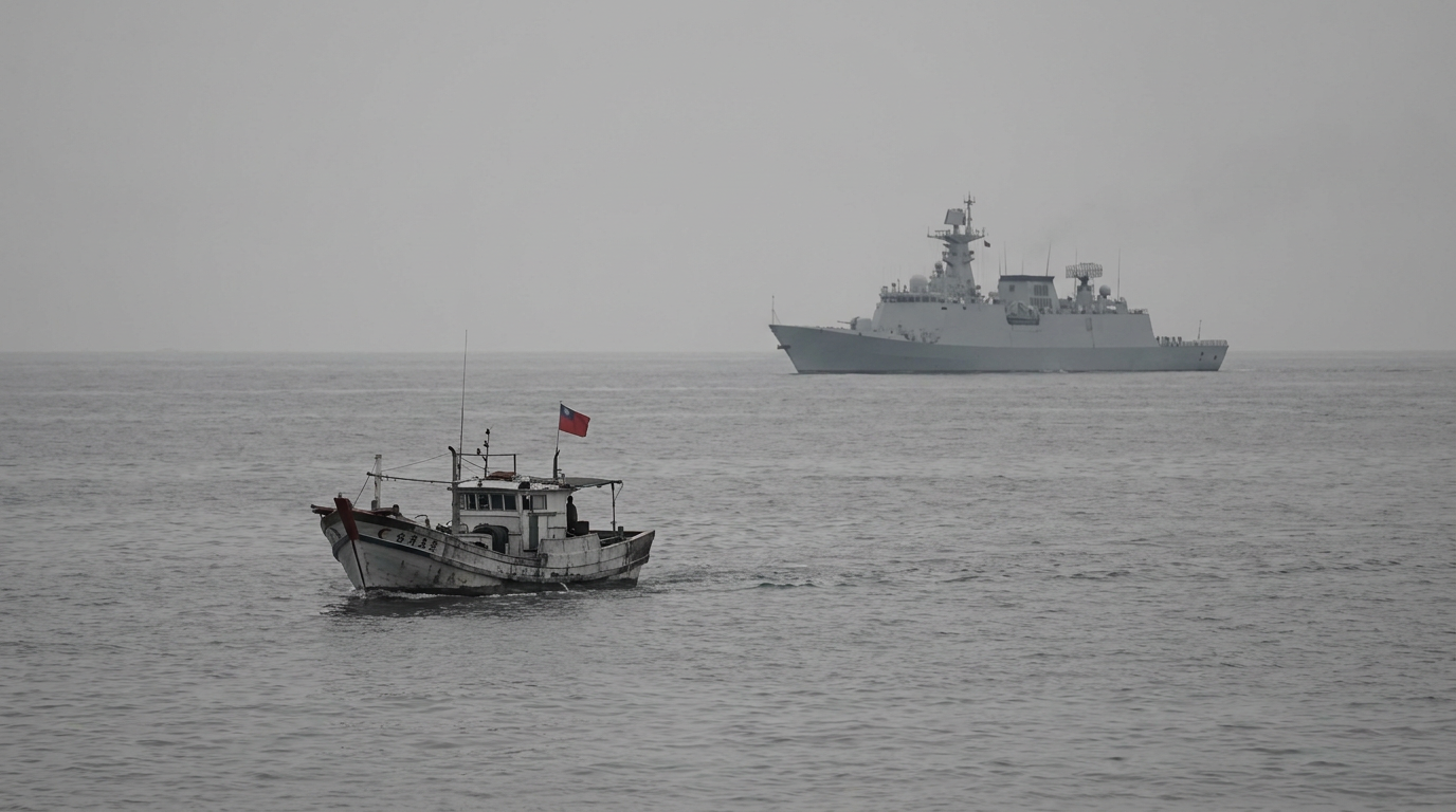
The Center for Strategic and International Studies (CSIS) has published a new report titled "The Geometry of Coercion," which maps the People's Republic of China's maritime and air pressure on Taiwan. The analysis, released by the Washington, D.C.–based think tank, compiles tracking data to show patterns of Chinese military and paramilitary activity around the island over recent months.
CSIS's report lays out geographic patterns and recurring routes of maritime and aerial operations near Taiwan's air defense identification zone and surrounding waters. The study synthesizes publicly available tracking information to identify where pressure is concentrated, how often PLA-affiliated units operate in proximity to Taiwan, and the spatial relationship among different types of activity.
CSIS frames the activity as purposeful pressure designed to shape Taipei's choices and deter foreign support.
The Center
The report is intended for policy audiences in Washington. CSIS emphasized how these operational patterns fit into broader coercive strategies rather than isolated incidents. Analysts note the tactical mix—maritime patrols, naval vessels, and aircraft sorties—creates a persistent operational environment that complicates Taiwan's defense posture and could strain crisis decision-making in Washington and allied capitals.
For U.S. policymakers, the report offers granular mapping that can inform threat assessments, contingency planning, and congressional oversight. CSIS's findings are likely to be referenced by defense and diplomatic staff evaluating the frequency, scope, and geographic focus of PRC operations. The report also functions as a public record that congressional committees, think tanks, and interagency offices in D.C. can cite in hearings and briefings.
The analysis places the observed activity in the context of gray-zone coercion—measures that fall short of open conflict but aim to alter political behavior through sustained pressure. CSIS's mapping underscores how the geometry of operations (where and how pressure is applied) matters for Taiwan's ability to operate commercially and militarily, and for how outside actors assess escalation risks.
CSIS urged continued monitoring and greater integration of
CSIS urged continued monitoring and greater integration of geospatial tracking into policymaking, arguing that clearer visibility of patterns helps distinguish episodic incidents from systemic campaigns. The report stops short of policy prescriptions but highlights the need for coordinated assessment among defense, diplomatic, and intelligence offices in Washington and allied partners.
Watch for how the report is used in the coming weeks: congressional staff and defense officials in D.C. may cite its maps in hearings or briefings, and subsequent CSIS updates could refine the picture as new tracking data emerges. The analysis is likely to feed into ongoing policy conversations about deterrence, arms sales, and operational posture in the Indo-Pacific.