UN Warns Strongest El Niño Since 1950 to Continue
The UN's WMO warns El Niño, potentially strongest since 1950, will continue through February 2027, severely impacting global weather and trade.
Lauren Collins ·
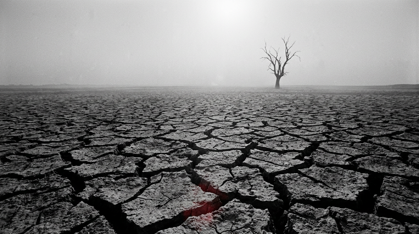
The World Meteorological Organization (WMO), an agency of the United Nations, has issued a significant warning regarding the ongoing El Niño phenomenon. Projections indicate this event could become the most intense recorded since 1950, with its effects anticipated to persist through February 2027. This climate pattern is already causing widespread disruptions to global weather, posing threats to critical infrastructure and economic stability.
El Niño is characterized by an unusual warming of sea surface temperatures in the central and eastern tropical Pacific Ocean. Current observations suggest temperatures could reach an extraordinary 4 degrees Celsius above average in some parts of the Pacific. This substantial thermal shift releases considerable heat into the atmosphere, exacerbating the impacts of human-induced climate change and leading to pronounced regional weather extremes worldwide.
Global Weather Extremes Intensify
The intensifying El Niño is driving a divergence in weather patterns across the globe. Regions in Southeast Asia and the Americas are currently grappling with elevated risks of severe drought and an increased threat of wildfires. Conversely, other parts of the world are experiencing a surge in typhoon activity and more frequent, intense flooding events, demonstrating the varied and often contradictory impacts of the phenomenon.
The WMO has emphasized that the current intensity of this El Niño event surpasses historical benchmarks observed over the past 70 years. This assessment underscores the exceptional nature of the developing situation and the potential for unprecedented climate-related challenges.
Impact on Global Trade Routes
Economic consequences are already becoming evident, particularly in vital global trade arteries. The Panama Canal, a critical maritime link connecting the Atlantic and Pacific oceans, has initiated measures to reduce vessel traffic by more than 10 percent. This preemptive action aims to mitigate the effects of anticipated lower rainfall, which could reduce water levels necessary for canal operations.
The Panama Canal is a crucial component of global supply chains, facilitating the passage of approximately 14,000 ships annually and generating about $3 billion in revenue for Panama. Reductions in transit capacity through such a key chokepoint can lead to higher shipping costs, longer transit times, and broader disruptions to international commerce.
International Response and Future Outlook
In response to the escalating threat, nations globally are deploying various mitigation strategies. These include enhancing early warning systems to provide timely alerts for extreme weather and initiating cloud-seeding operations in an attempt to stimulate rainfall in drought-stricken areas. These efforts aim to manage immediate risks to agricultural production, trade flows, and public safety.
The WMO has launched a global mobilization initiative to ensure the widespread dissemination of its detailed forecasts. A key question remains regarding the overall effectiveness of these mitigation efforts in offsetting the extensive disruptions anticipated from an El Niño event of this projected magnitude and duration.