Midwest Braces for More Storms, Worsening Floods
Central U.S. storm threat returns on April 17, 2026, with Level 3 and Level 2 risks as Great Lakes flooding and evacuations persist.
Ayla Demirhan ·
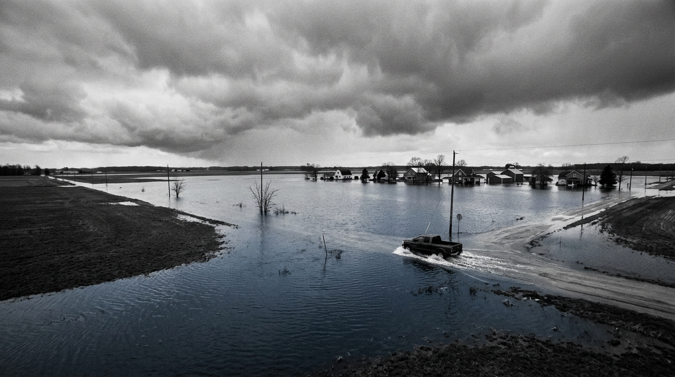
Central U.S. communities are preparing for another round of severe weather on Friday, April 17, 2026 , with the threat zone extending from northern Texas to northern Wisconsin. The renewed risk arrives after a week of intense storms that produced more than three dozen tornado reports and over 300 hail reports across a broad corridor from Texas to the Great Lakes, with some hail described as reaching softball size.
Forecasters said a new burst of jet stream energy, combined with moisture moving north from the Gulf, is expected to energize the developing system. The National Weather Service set a Level 3 of 5 severe thunderstorm risk for areas that include Madison, Wisconsin; Chicago, Illinois; Kansas City, Missouri; Tulsa, Oklahoma; and Wichita, Kansas. A Level 2 of 5 risk covers Milwaukee, Wisconsin; Oklahoma City, Oklahoma; St. Louis, Missouri; Des Moines, Iowa; and Springfield, Missouri.
Storm timing is expected to evolve through the day. Officials said activity could begin in the northern portion of the threat area early Friday afternoon, with the potential for EF3 or stronger tornadoes and destructive hail. By evening, the primary hazard is expected to shift toward widespread damaging winds, a change that can broaden impacts across multiple states and increase the likelihood of power outages and transport disruptions.
The approaching storms are also set to compound existing flooding problems in the Great Lakes region. The area has seen one of its wettest starts to spring on record, and snowmelt has added to runoff, officials said. Rivers in Michigan and Wisconsin have reached, or are projected to reach, major or record flood levels in more than 20 locations, raising concerns about additional rainfall and storm-driven downpours arriving on already saturated ground.
In Michigan, mandatory evacuations have been ordered in parts of the state, including locations below the Croton Dam in Newaygo County, as river levels rise. Officials said several dams are under close watch, including the Cheboygan and Bellaire dams, where water levels are nearing critical thresholds. Authorities said they are preparing for possible evacuations if conditions deteriorate.
For markets and public services, the immediate uncertainty centers on where the most intense storms form and how quickly flooding worsens. Severe weather can interrupt regional logistics and industrial operations, while flood conditions can strain local infrastructure and emergency response capacity. Officials have not provided a definitive endpoint for the flood risk, and the evolving storm track will determine which communities face the highest impacts.