Satellite Images Map Damage Across Iran, Lebanon and Gulf Sites
Satellite images reveal extensive destruction across 15 sites in Iran, Lebanon, and the Gulf following 100 days of U.S. and Israeli attacks.
Lauren Collins ·
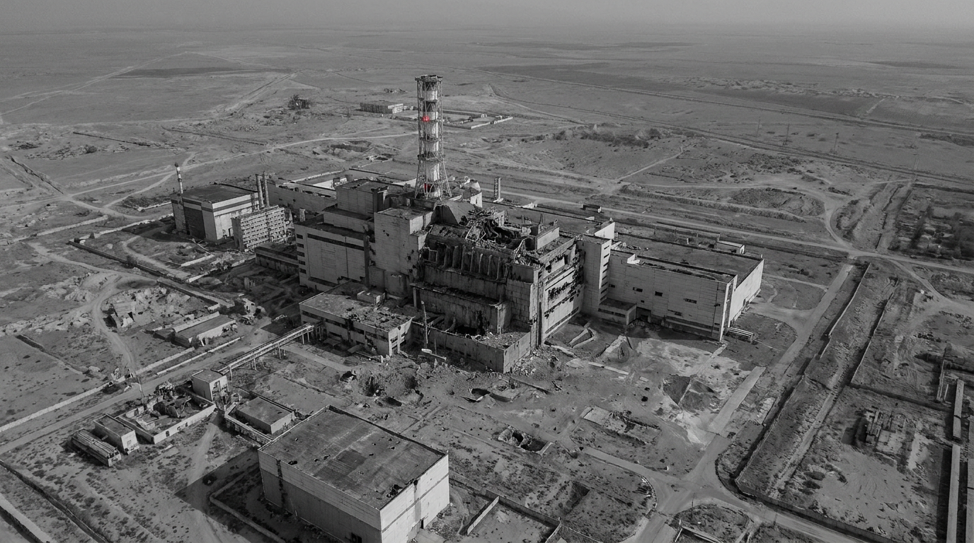
Satellite imagery analyzed by an open-source research team shows extensive damage at 15 sites in Iran, Lebanon and several Gulf states after 100 days of U.S. and Israeli attacks on Iran. The images, captured between February and June 2026, document damage to military, industrial and civilian infrastructure across the region. The analysis said the images were gathered before an indefinite blackout on conflict-related satellite pictures took effect at Washington’s request.
The imagery cited includes material from Planet Labs, Airbus, Sentinel and Vantor. The open-source team said it compiled before-and-after comparisons to show the scale of destruction at key ports, bases and towns, and to pinpoint specific buildings and facilities hit in the strikes.
The findings come as access to some commercial satellite imagery has tightened during the conflict, limiting independent visual verification of damage. The analysis focused on sites where imagery was available before the restrictions began.
Iran sites include Natanz, Bandar Abbas and Fath Air Base
In Iran, the Natanz uranium enrichment facility sustained visible structural damage to buildings and access routes after two strikes in June 2025, the analysis said. It described damage to ramps and entrance pathways for personnel and vehicles leading to underground enrichment halls following joint U.S.-Israeli air attacks.
On Siri Island, satellite imagery dated April 15, 2026, showed a large fire at oil facilities and damage to the island’s largest storage tank, which the analysis said has a capacity of 1 million barrels. The report described Siri Island as an important oil export alternative for several major oil fields.
At Bandar Abbas, imagery captured between February 26 and April 1, 2026, showed extensive destruction at 11 locations, including severe structural damage to warehouses and a docked vessel, the analysis said. Separate imagery dated March 2, 2026, was cited as showing strike damage at the Bandar Abbas Naval Base, including a direct hit on the “IRIS Makran” vessel and fires affecting facilities inside the base.
At Fath Air Base near Karaj, high-resolution imagery dated April 10, 2026, showed collapsed roofs and severe structural damage at hangars and technical facilities, along with debris and burn marks on the tarmac, according to the analysis. The report described the base as a primary operational hub for the IRGC Aerospace Force.
Lebanon and Gulf locations show damage to towns and air bases
In southern Lebanon, the analysis said Naqoura—home to headquarters for the United Nations Interim Force in Lebanon (UNIFIL)—showed more than 100 buildings destroyed between February 18 and April 16. It also reported extensive damage in Bint Jbeil from Israeli ground operations and air attacks between February 20 and April 14, 2026, with severe damage to approximately 725 buildings and facilities.
Satellite imagery covering February 16 to April 16, 2026, showed entire residential neighborhoods levelled in Rachaf, the analysis said. It also reported heavy damage in the neighboring towns of Kozah and Beit Lif, including to historic civil and religious sites and a UNIFIL peacekeeping position.
In the Gulf, the report cited imagery showing strike damage at Al Udeid Air Base in Qatar, including damage to a logistics building and an aircraft shelter by April 4, 2026. It also said Kuwait’s Ali Al Salem Air Base showed damage across nine locations—primarily tent areas and logistics facilities—by March 1, 2026, which it attributed to falling debris from intercepted Iranian ballistic missiles.
Further assessments are likely to depend on whether commercial satellite providers restore broader access to imagery of the conflict, and on additional independent verification of damage at sites where pictures are now restricted.