Himalayan Glacier Collapse Spurs Call for Advanced Monitoring
A recent glacier-rock collapse near the Nepal-Tibet border, causing over 1,000 fatalities, highlights urgent need for improved Himalayan monitoring systems.
Atlas Newsdesk ·
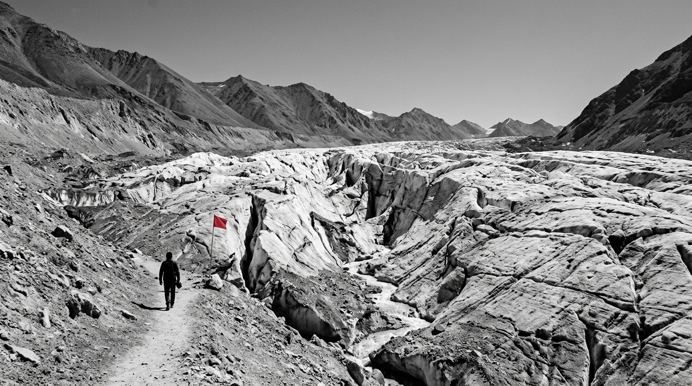
A catastrophic glacier-rock collapse near the Nepal-Tibet border, which occurred on August 26, resulted in more than 1,000 confirmed fatalities and approximately 4,000 individuals reported missing. This event has highlighted significant shortcomings in current disaster monitoring and early warning systems across the Himalayan region, particularly regarding complex high-elevation hazards.
Analysis of radar satellite imagery revealed a noticeable acceleration in the glacier-rock system in the weeks preceding the collapse. This observed deformation pattern indicated substantial structural changes within the slope, suggesting an imminent failure. However, these crucial pre-collapse indicators were not adequately captured or acted upon by existing monitoring protocols, underscoring a critical gap in regional hazard assessment capabilities.
Current Monitoring Limitations
Existing disaster monitoring frameworks in the Himalayas predominantly focus on detecting glacial-lake outburst floods. These systems often lack the comprehensive capacity needed to routinely monitor thousands of mountain slopes for subtle, yet critical, pre-failure acceleration signals, which are characteristic of complex glacier-rock failures. The remote and transboundary nature of the affected area further complicates the deployment of effective ground-based instrumentation and the real-time sharing of data between different national jurisdictions.
This combination of geographic challenges and political complexities creates substantial gaps in both comprehensive hazard assessment and coordinated response efforts. The absence of a unified approach to data collection and dissemination leaves communities vulnerable to cascading environmental threats.
Addressing Systemic Vulnerabilities
Effective strategies for risk mitigation demand the integration of advanced satellite-based deformation monitoring with sophisticated downstream flood and avalanche modeling. Such an integrated approach would offer a more holistic understanding of potential hazards, enabling earlier detection and improved predictive capabilities. The lack of a unified, cross-border early warning system constitutes a significant vulnerability for regional infrastructure and densely populated downstream areas.
Without coordinated efforts to share critical data and implement joint response protocols, the risk of severe impacts on communities remains elevated. Future governance strategies for the Himalayan region must prioritize the swift exchange of hazard data among all involved parties. Enhancing international cooperation and investing in shared technological infrastructure are essential steps to bolster regional resilience against the increasing frequency and intensity of geohazards.
Future Preparedness and Data Exchange
Developing standardized protocols for data collection, analysis, and dissemination is crucial to ensure that vital information reaches affected populations promptly. The recent collapse serves as a stark reminder of the urgent necessity to evolve monitoring capabilities beyond traditional methods and adopt cutting-edge satellite technology. These advancements, combined with political will and collaborative frameworks, are indispensable for protecting lives and infrastructure in this geologically active and sensitive region.