Rain moves out of D.C.; chillier, damper night ahead for the region
Rain moves east from Washington, VA, MD, bringing cooler, damper conditions. Expect wet commutes & a noticeable temperature drop after Mother's Day.
Sophie McAlister ·
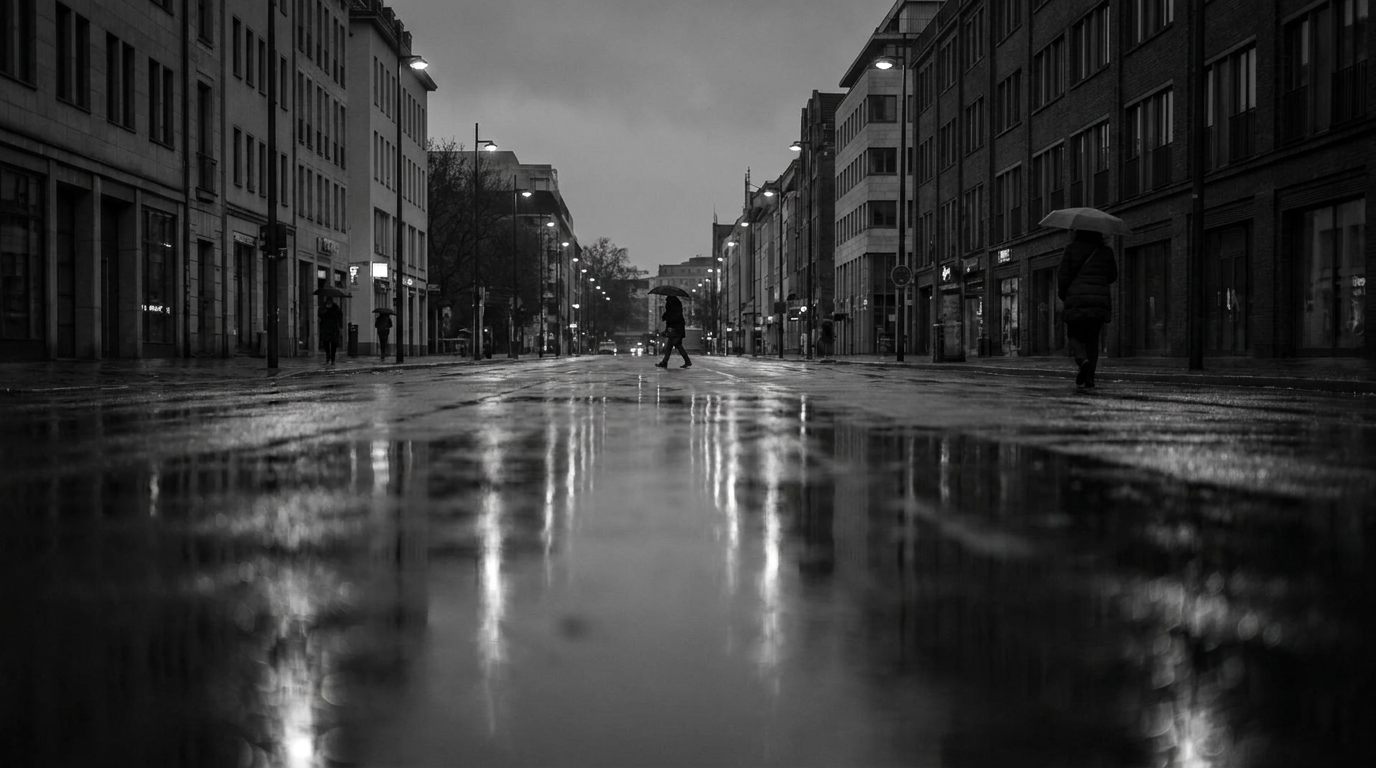
A round of rain that set up across large parts of northern Virginia, Washington, D.C., and southern Maryland Monday morning is pushing eastward, with drier, cooler air following behind. Clouds and showers that made the start of the work week damp for many commuters are expected to give way this evening as the region turns noticeably chillier after a milder Mother's Day.
Weather teams reported a fresh surge of clouds early Monday, with precipitation across the DMV while some nearby spots stayed dry. The rain was widespread enough to affect roads, parks and outdoor plans in the region through the morning and into the afternoon. Local forecasts indicate the main stripe of showers is shifting offshore and eastward during the day.
Commuters and outdoor plans
Morning and midday travel across the District and surrounding counties was slower in places due to wet roads and reduced visibility. Event organizers and people with outdoor plans were advised to expect damp conditions at least through the early part of the day; rainfall totals were modest but steady in affected neighborhoods. As the precipitation exits, lingering drizzle or spotty showers could persist in some corridors before conditions improve.
Colder air arrives
Following the rain, a cooler air mass will move into the metro area, bringing a clear shift from the warmer conditions experienced over the weekend. The transition is expected to make tonight feel noticeably colder and damper than Sunday and Monday morning, with a bite of chill for those spending time outdoors after sundown.
Wind speeds may rise briefly as the front passes through, contributing to the brisk feel. The change in temperature and humidity will also affect layers people choose for evening activities and commute times; local officials and transit agencies typically remind riders to plan for slick surfaces during transitions like this.
Timing and what to expect next
Skies should gradually clear from west to east after the primary rain band moves offshore, with drier weather building in later in the evening. That sets the stage for cooler overnight conditions and a fresher start to the following day, though patchy dampness could remain on lawns and sidewalks where rain was heaviest earlier.
Residents with outdoor plans later this week should check updated local forecasts for timing and any lingering showers. Seasonal swings like this — a warm weekend followed by a colder, wetter start to the week — are common in the spring and can complicate short-term event and travel planning.
Look for clearer, cooler conditions to settle in overnight; forecast updates from local meteorologists will refine exact timing and any remaining spotty precipitation.