Open Data DC publishes machine-readable list of tax-exempt properties across the District
Explore the District's 'Tax Exempt Properties' dataset. Map exemptions and inform local tax and land-use discussions with this public inventory.
Sophie McAlister ·
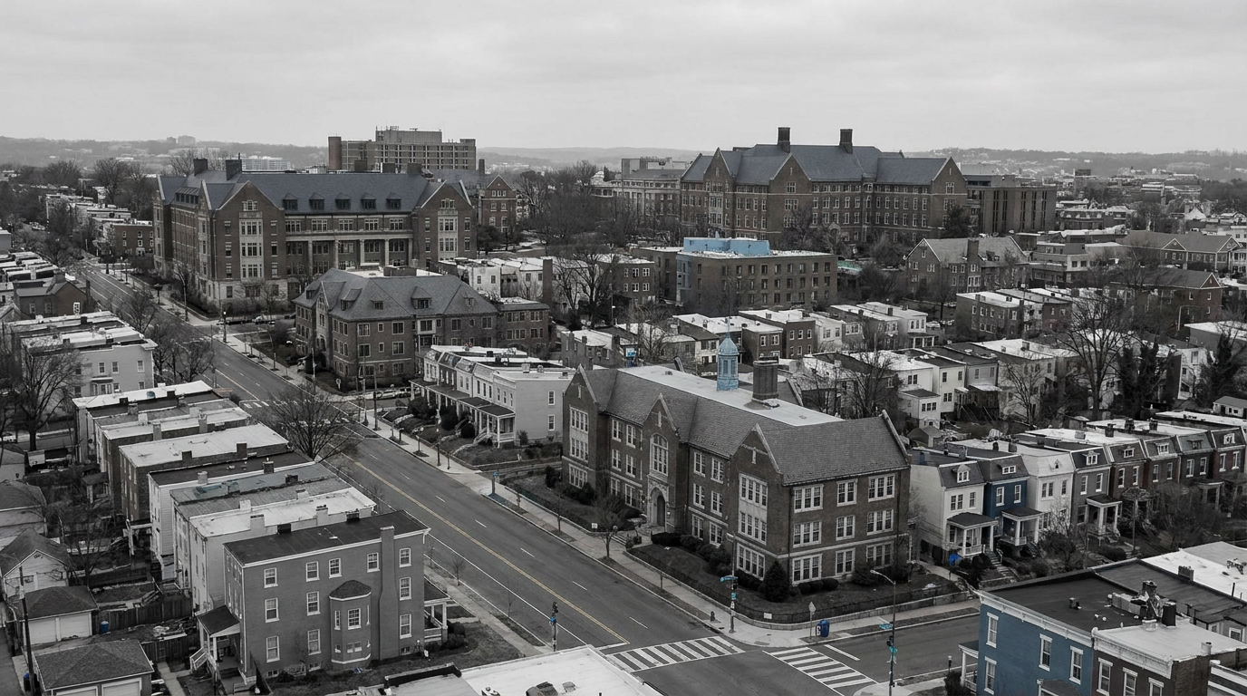
Open Data DC has published a new dataset called "Tax Exempt Properties" that lists parcels in Washington, D.C., identified as exempt from local property taxation, including addresses and ward assignments. The file is available on the District’s official open-data portal and can be downloaded in machine-readable formats for analysis. The release creates a public inventory that residents, community groups, city agencies and researchers can use to map where tax-exempt parcels are concentrated across neighborhoods.
The dataset provides a district-wide view of exemptions by street address and ward, enabling users to combine the file with other public records such as zoning maps, property assessments and nonprofit registries. Because the data is structured for programmatic access, it can be imported into mapping tools and spreadsheets for neighborhood-level analysis. The portal page also includes metadata about the dataset’s fields and update cadence.
What the dataset shows
At its core, the dataset is an inventory of properties that the District currently treats as tax-exempt. Each record lists the property address and the ward where the parcel is located. The formatting is intended for practical use: journalists and community groups can map exemptions, researchers can run counts by ward or neighborhood, and agencies can cross-check exemption lists against other administrative records.
Public availability matters because tax-exempt parcels remove property from the local tax base, which affects revenue and how the city funds services. The dataset does not, on its face, assign fiscal values to exemptions; users must combine it with assessment or valuation data to estimate revenue impact. Still, having a verified list of exempt parcels makes those downstream analyses possible and more transparent.
How DC stakeholders can use the data
Neighborhood advisory commissions, ANC members and local advocacy groups can use the dataset to identify clusters of tax-exempt properties that may influence development patterns or local service needs. Council members and budget analysts can reference the list when discussing property tax policy, exemptions for nonprofit or religious organizations, or targeted revenue questions. Developers and planners may use the file to understand land-use patterns and potential sites where exemptions shape market behavior.
The dataset also supports open-government goals: by providing machine-readable records, the District lowers the barrier for independent analysis, media reporting and civic tech projects that aim to surface how public resources and tax policies intersect with neighborhood change.
Open Data DC indicates the dataset is maintained on its portal and may be updated periodically. Users who rely on the file should check the dataset page for metadata about the last update and fields included.
Watch whether local agencies, Council staffs or civic groups publish derived analyses that estimate the fiscal effect of exemptions or map concentrations by ward. Future updates to the dataset or related files — such as valuation fields, exemption types, or update frequency — will determine how readily the list can be used in budget or zoning debates.