India opens 27 mapping sites near Arunachal border
India opened 27 Survey of India mapping sites near Arunachal on August 15, officials said, after revised Chinese map depictions.
Mateo Fernandez ·
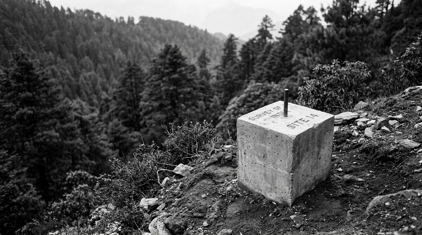
India opened 27 new Survey of India mapping sites near Arunachal Pradesh on August 15, officials said, describing the step as part of a broader response to revised Chinese map depictions. Officials said a reaction to the move was still pending.
Defence officials said the additional locations are designed to improve topographical data and strengthen planning for border surveillance and logistics. They framed the initiative as a technical measure tied to mapping and terrain understanding, rather than an operational increase in troop deployments.
Survey of India expansion linked to border planning
Officials said the mapping expansion is intended to Officials said the mapping expansion is intended to support decision-making in terrain-intensive areas by providing more detailed and updated information. Defence officials said the focus is on enabling better surveillance coverage and supporting logistics planning along border regions. Officials also positioned the move as a counter to changes in map depictions, while emphasising it should not be read as an immediate escalation in forces on the ground. They said the step is aimed at strengthening technical capacity. Parallel security actions cited in Punjab and West Bengal Security officials said the mapping expansion comes alongside law-enforcement operations in Punjab and West Bengal that dismantled suspected terror modules. Officials alleged the modules had links with Pakistan's intelligence service.
Police statements said the operations led to arrests and seizures of material described by police as connected to an external intelligence service. Investigators said inquiries are continuing, and police said they expect further charges after forensic work is completed.
Weapons programmes and platforms highlighted by officials
Officials said New Delhi is also moving forward with programmes for BrahMos-2 supersonic cruise missiles and naval loitering munitions. They also cited plans to arm C-295 transport aircraft, saying procurement and testing steps have been accelerated in recent months.
Security analysts said faster fielding of these systems would compress timelines for adjustments in force posture along contested frontiers. Officials, however, presented the mapping sites as a technical step and did not describe them as an operational change by themselves.
Next updates expected by August 18, 2026 Officials said further operational updates are expected by August 18, 2026. They also urged attention to parliamentary and ministry briefings this week, which they said may provide more detail on timelines and deployments.
For now, officials said the government is combining technical measures, ongoing security investigations, and accelerated procurement and testing efforts, while additional detail is expected through official briefings in the coming days.