District posts 'Metro Maintenance Facilities' dataset on Open Data DC portal
The District of Columbia has published a new 'Metro Maintenance Facilities' dataset on its Open Data DC portal, making information about Metro maintenance …
Sophie McAlister ·
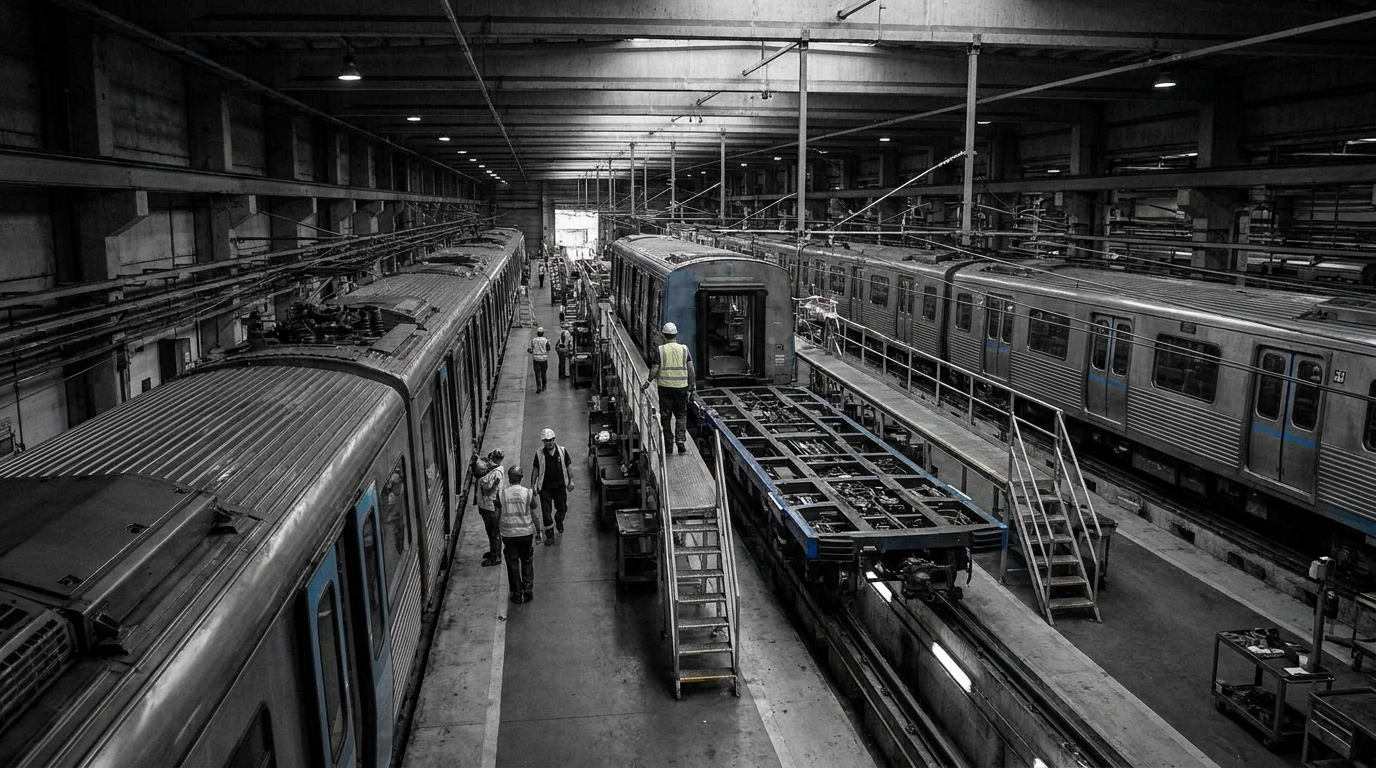
The District of Columbia government recently published a dataset titled "Metro Maintenance Facilities" on its Open Data DC portal. The dataset catalogs facilities used for maintenance of Metro service in the Washington region and is now available for public download and reuse through the city's open-data platform.
The dataset appears on the official Open Data DC site and is presented in the standard machine-readable formats used across the portal. City officials and civic technologists commonly use the portal to share infrastructure and asset data, and this entry adds maintenance-site information to that public repository.
What the dataset provides
The entry identifies Metro maintenance sites and is intended to serve planners, transit researchers, journalists, neighborhood groups and others who track transit infrastructure. Because the dataset is hosted on the municipal open-data portal, it can be integrated into mapping tools, planning workflows, and data analyses that require authoritative, downloadable files.
Open-data releases like this typically support transparency and help outside organizations cross-check public records, compile transit inventories, and assess local impacts. For Metropolitan Washington, access to a consolidated list of maintenance sites can inform conversations around land use, emergency response planning, and transit operations oversight.
Local oversight and neighborhood impact
The information is relevant to District oversight agencies and local community groups that follow Metro operations and infrastructure in the city. Maintenance yards and facilities are often sited in or near neighborhoods; public access to precise locations and identifiers helps residents and officials evaluate zoning, environmental, and transportation implications.
Because WMATA is a regional agency with stations and assets across multiple jurisdictions, the city's dataset provides a District-specific view that can be compared with regional datasets maintained by the transit authority and partner jurisdictions.
City data portals do not replace agency operations, but they do make basic infrastructure records easier to find. This dataset gives planners and community advocates a starting point for questions about facility use, nearby land development, and public safety coordination.
Watch for updates from the District or WMATA indicating additional fields, corrections, or linked documents that expand the dataset's utility for technical users and neighborhood stakeholders.