DC posts machine-readable Metro Bus Stops dataset on Open Data DC
Access Metro Bus Stops data on Open Data DC. Download stop locations & attributes for Metrobus routes to aid planners, developers & commuters.
Sophie McAlister ·
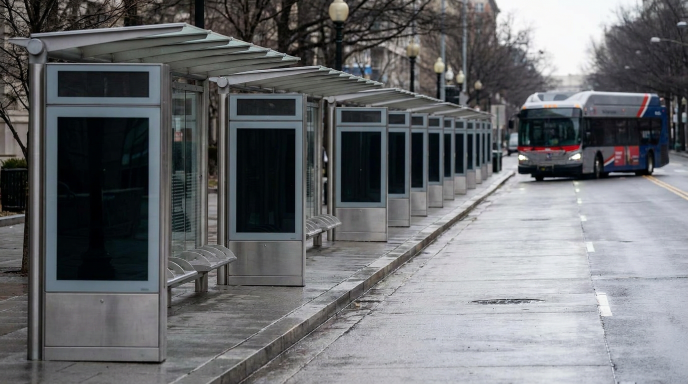
The District of Columbia has published a machine-readable "Metro Bus Stops" dataset on Open Data DC, the city’s public data portal. The dataset, now available for download and API access on the portal, lists Metrobus stop locations inside Washington, D.C. and is intended to centralize transit stop information for public use.
The new entry appears on the city’s open-data platform and is labeled for Metrobus stops serving the District. The dataset page provides geospatial stop points and metadata intended to be consumed by researchers, app developers, planners and members of the public. The dataset is hosted and distributed through the Open Data DC site run by DC government staff.
How the dataset can be used locally
Planners and advocacy groups can use the file to analyze stop placement and service coverage across neighborhoods from Capitol Hill to Anacostia, Navy Yard to Columbia Heights. Developers and civic-tech teams can pull the dataset into mapping tools or transit apps to improve wayfinding and trip planning for District commuters. Local researchers can combine the stop data with schedule feeds to study on-time performance or access to transit in underserved areas.
Because the dataset is machine-readable and available via the city portal, it lowers the technical barrier for small teams and community organizations that lack direct access to proprietary transit sources. The open format also supports integration with other city data layers, including sidewalk networks, bike lanes and land-use maps.
Where this fits in DC’s open-data ecosystem
Open Data DC is the District’s official repository for public datasets maintained by city agencies. Publishing Metrobus stop locations on the portal is consistent with the city’s broader transparency and data-sharing initiatives that aim to make municipal information more accessible and reusable. The dataset complements similar feeds maintained by regional transit operators and federal partners, offering a DC-centric view of stop locations inside city boundaries.
Local transportation officials, neighborhood advocates and technology teams often rely on these public datasets to inform small-scale planning, community meetings and volunteer mapping projects. Making stop data available on the city portal standardizes one source of truth for stop locations inside the District.
Watch for periodic updates to the dataset and for potential linkages to schedule or real-time transit feeds. Stakeholders who build tools or analyses from the file should check the dataset page on Open Data DC for metadata updates, licensing details and refresh schedules.