Showers Taper This Afternoon; Patchy Frost Possible Monday Night in DC
Rain will taper across Washington, D.C., this afternoon with highs in the 60s. Sunshine returns later, but patchy frost is possible Monday night before…
Sophie McAlister ·
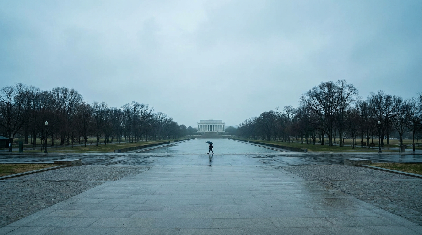
Light rain showers moving through Washington, D.C., this morning are expected to taper through the afternoon with highs reaching the low to mid 60s across most neighborhoods. Skies should brighten from the northwest into the evening as the precipitation shifts south and east, though temperatures will remain cooler than Sunday.
While the immediate tally is mostly rain today, the forecast calls for temperatures to fall sharply overnight into Monday, creating conditions for patchy frost in low-lying and less urbanized parts of the District. Forecasters say the brief freeze risk is most likely in neighborhoods with more open ground and less daytime warming.
Timing and temperatures
The bulk of the showers should diminish this afternoon, with scattered pockets lingering into the early evening. Meteorological guidance indicates high temperatures generally in the low to mid 60s, varying by neighborhood. Areas closer to the river and central city may stay a few degrees warmer, while outlying residential neighborhoods could see the coolest readings.
Short-term hazards and travel
Commuters should expect wet roads through the afternoon and evening; visibility may be reduced during heavier downpours. A quick cooldown overnight raises the chance of slick surfaces in the early morning hours where temperatures dip near or below freezing. City services and transit operators typically monitor these conditions and may issue advisories if surface frost or black ice becomes a concern.
Looking ahead, another weather system is likely to move through the region by Wednesday night, bringing a renewed chance of rain and possibly thunderstorms. Forecast models show the midweek system arriving with more instability, which raises the prospect of heavier downpours and lightning in some areas.
Weekend outlook
After the midweek system clears, conditions are expected to turn drier and warmer into the latter part of the week and the weekend, with a gradual rise in daytime temperatures. That pattern would ease frost risk but could also mean more typical spring humidity by late week.
Residents should monitor local forecasts for updates on timing and intensity. Pay particular attention to late-night temperature forecasts Monday and updates on the midweek system, which will determine whether showers escalate into thunderstorms.