Chilly Start in D.C., But Temperatures Expected to Jump Into the Weekend
A cold front that passed through overnight leaves the District and the wider DMV breezy and cool Thursday, but forecasts show a rapid warm-up by the weekend.
Sophie McAlister ·
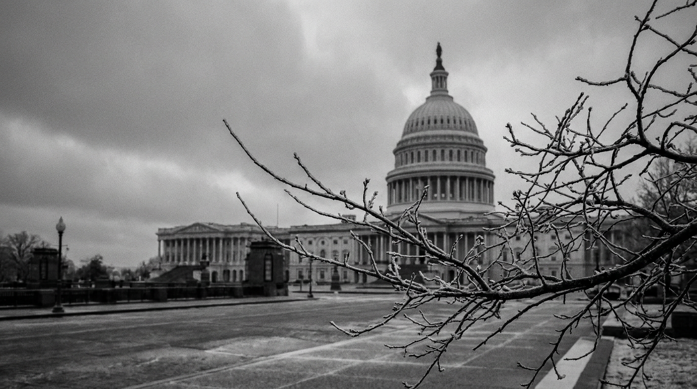
Storms moved through the region late Wednesday into Thursday, and while precipitation has tapered off, the atmosphere behind that system is delivering blustery northwest winds and noticeably cooler air across Washington, D.C., and the surrounding Maryland and Virginia suburbs. A frontal boundary remains off the East Coast on Thursday, funneling cooler air and clouds into the DMV and prolonging the chill across neighborhoods from Capitol Hill to the National Mall.
Skies are drying but winds are keeping conditions raw, particularly in exposed and waterfront areas. Commuters and outdoor workers should expect gusts that make air temperatures feel colder than the thermometer shows. Agencies that manage parks and outdoor venues are seeing a brief window of drier weather before temperatures begin to shift later in the week.
What to expect through Friday
The immediate forecast holds steady with cool daytime conditions and chilly mornings through Friday as the cooler airmass gradually moderates. Urban heat islands will still make central city neighborhoods slightly warmer than outlying wards, but the overall pattern favors a return to milder air with each passing day. Drying conditions should reduce the chance of additional showers in the short term, though clouds will linger in places.
Weekend warm-up and local impacts
Models indicate a quicker-than-usual warm-up into the weekend as southerly flow reestablishes itself, allowing warmer air to surge north into the mid-Atlantic. That shift is expected to push daytime values upward, changing the feel of outdoor spaces across waterfront areas, parks, and weekend event sites. Organizers of outdoor activities should prepare for significantly warmer temperatures compared with Thursday and Friday, while early morning plans may still start on the cool side.
Transportation officials and planners will watch timing closely: the transition from chilly to warm can alter commute comfort, influence bike and pedestrian conditions, and affect maintenance crews dealing with lingering debris from last night’s storms. Residents planning errands, outdoor exercise, or events should layer clothing and keep an eye on updated advisories as the weekend approaches.
Overnight lows are expected to moderate as the warm-up begins, reducing frost or chill-related concerns in the city’s lowest-lying spots. Still, anyone with temperature-sensitive outdoor installations or plantings should take short-term protective steps during the remaining cool period.
Expect a clearer, warmer trend through the weekend; forecast updates from local weather services will refine exact timing and intensity of the warm-up over the next 48 hours.