UN Endorses Equal Earth Map, US Voices Dissent
The UN General Assembly backed the Equal Earth map projection, aiming to replace Mercator and correct landmass distortions, despite US opposition.
Lauren Collins ·
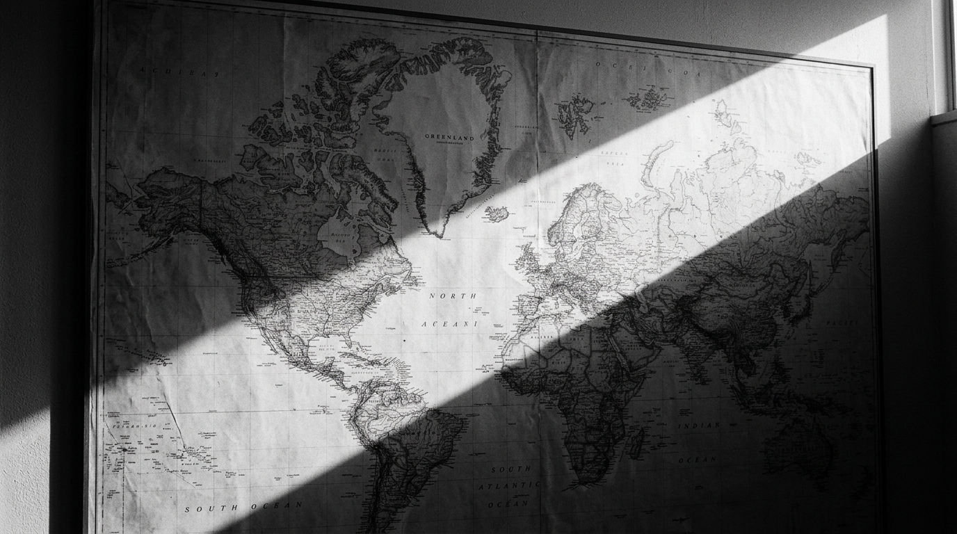
The United Nations General Assembly has passed a resolution advocating for the widespread adoption of the Equal Earth projection as a new standard for global mapping. This measure, introduced by Togo on behalf of the African Group, received substantial support with 164 votes in favor and only one against during Friday's session. The initiative seeks a gradual shift away from the 16th-century Mercator projection, which has long faced criticism for inaccurately representing the relative sizes of continents, particularly exaggerating northern landmasses.
Critics point out that the Mercator projection visually inflates regions further from the equator, such as Europe and North America, while diminishing the apparent size of equatorial areas. A common example highlights Greenland appearing similar in size to Africa on a Mercator map, despite Africa being approximately 14 times larger in actual surface area. In contrast, the Equal Earth projection prioritizes accurate surface area preservation, offering a more proportional view of landmasses, albeit with some geometric curvature.
Push for Cartographic Reform
The resolution encourages educational institutions and technology companies globally to embrace this new cartographic standard. Although the UN resolution is nonbinding and does not mandate an immediate transition, it signifies significant international political endorsement for the Equal Earth projection. Togo intends to host a summit in Lomé early next year, bringing together UNESCO and major technology firms, including Google, to develop practical strategies for integrating the updated mapping framework on a broader scale.
Togo’s Foreign Minister, Robert Dussey, addressed the UN General Assembly, emphasizing the profound impact maps have on education, imagination, and collective perception. He stated that the resolution serves as a crucial acknowledgment of African reality, aiming to rectify historical visual biases that have been ingrained in global cartography for centuries. The Mercator projection, developed by Gerardus Mercator in 1569, was originally optimized for maritime navigation, preserving angles and straight bearings vital for seafarers of that era. However, this design inherently caused significant area distortions, making landmasses appear increasingly larger the further they were from the equator.
United States Registers Opposition
The United States cast the sole dissenting vote against the resolution. Prior to the vote, Yaryna Ferencevych, the U.S. representative, characterized the initiative as a "radical ideological project." Ferencevych argued that such measures divert attention from more substantive international issues and could undermine the credibility of the United Nations as an institution. Six other nations, including Ukraine and Serbia, chose to abstain from the vote.
Transitioning to a new global mapping standard will require extensive collaboration among international organizations, technology providers, and educational systems worldwide. While the UN resolution provides political impetus, the practical implementation of the Equal Earth projection will ultimately depend on the willingness of individual states and private sector entities to invest in and facilitate this change. The upcoming Lomé summit is anticipated to be a key forum for outlining a clear roadmap and addressing the logistical complexities associated with widespread adoption.
Historical Context of Map Projections
Map projections have long been a subject of cartographic debate, balancing various properties like area, shape, distance, and direction. The Mercator projection’s dominance for nearly 500 years highlights its utility for specific applications like navigation, but also its inherent limitations for accurate representation of landmass sizes. Alternative projections, such as the Gall-Peters projection, also sought to address area distortion, often gaining traction in educational and social justice contexts due to their emphasis on proportional landmass representation. The Equal Earth projection, developed more recently, offers a visually appealing compromise by preserving area while minimizing shape distortion, presenting a more balanced global view.