Tropical Storm Bertha targets Louisiana after Gulf gains
Tropical Storm Bertha strengthened in the Gulf, raising flooding risks from Florida to Louisiana before an expected midweek landfall.
Atlas Newsdesk ·
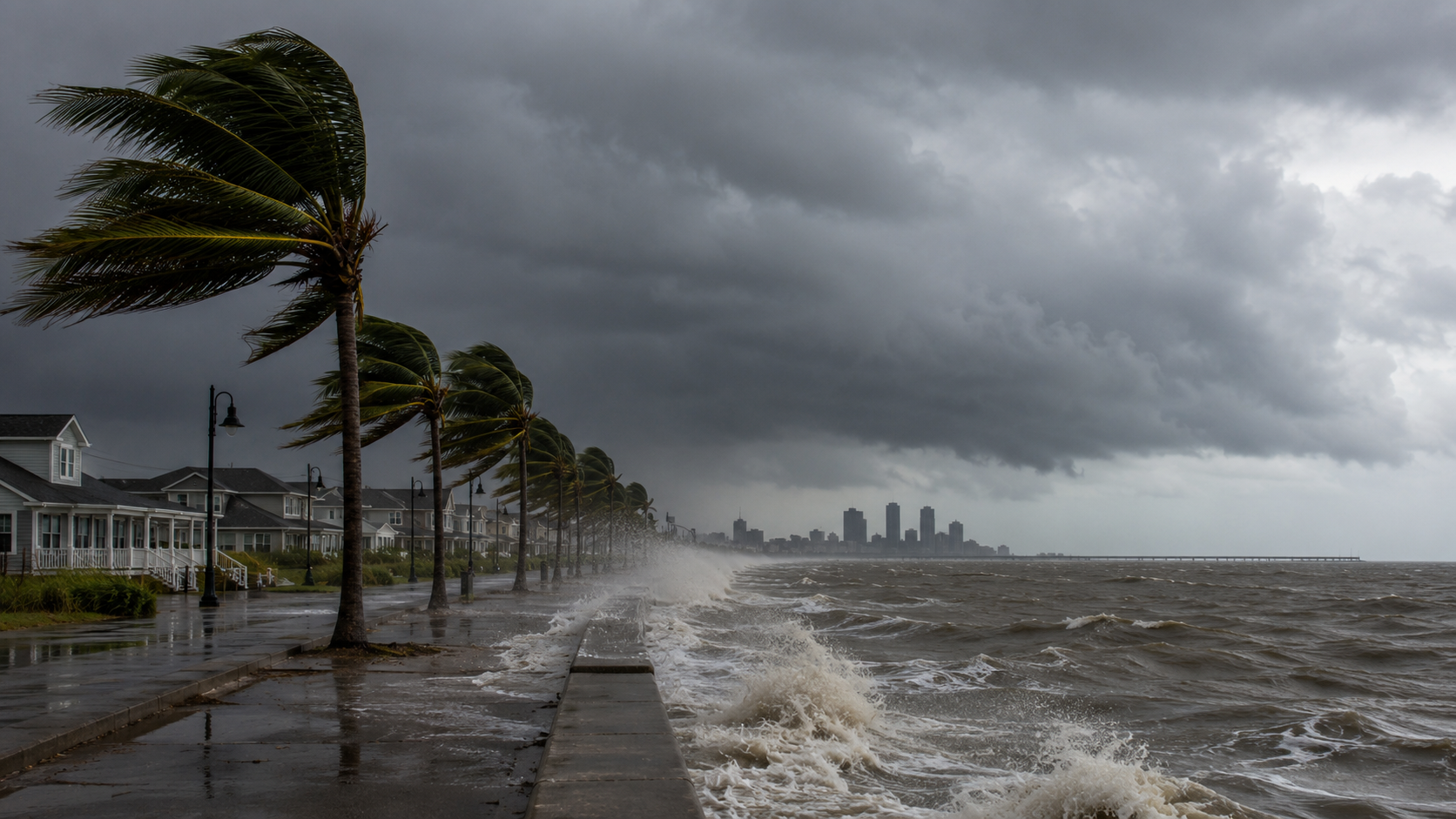
Tropical Storm Bertha put the northern Gulf Coast under warnings Tuesday as forecasters tracked rain, surge and a likely Louisiana landfall.
The National Hurricane Center said the warning zone covered parts of the coast from the Florida Panhandle toward Louisiana, including New Orleans. Forecasters said rain and flood threats could persist into Thursday morning, even as Bertha was expected to lose strength later in the week.
Bertha slows over Gulf waters
By Tuesday evening, the storm was positioned about 120 miles southwest of Panama City, Florida, and 105 miles southeast of Mobile, Alabama, according to the hurricane center. Bertha was moving west at 6 mph, a slow pace that can prolong periods of rain over coastal communities.
The storm’s maximum sustained winds were around 60 mph, the center said. That strength kept Bertha below hurricane status, but tropical storms can still disrupt ports, roads, power systems and low-lying neighborhoods when rain bands and coastal water levels combine.
Forecasters expected Bertha to weaken gradually from Wednesday through Friday. The risk for the coast was less about a stronger storm at landfall than about the amount of water pushed or dropped onto areas already exposed to Gulf weather systems.
Louisiana landfall zone narrows
Michael Buchanan, a meteorologist with the National Weather Service in Louisiana, said Bertha was projected to come ashore Wednesday night in a coastal, sparsely populated area of Louisiana southeast of New Orleans. That track would keep the city inside the warning area while placing the immediate landfall zone closer to marshland and small coastal settlements.
The timing matters for emergency managers because tropical storm warnings are meant to push decisions before conditions deteriorate. Coastal communities typically use that window to move vessels, secure outdoor equipment and prepare drainage systems for periods of heavy rain.
New Orleans is central to the risk map because of its location near Lake Pontchartrain, the Mississippi River and the low-lying Louisiana coast. Even when the strongest winds stay away from the city center, rain accumulation and water movement can strain local pumps, streets and transportation links.
Rain threat crosses state lines
The affected corridor stretches across several states that share the same immediate hazard: coastal water levels, saturated roads and bursts of tropical rain. The Florida Panhandle, Alabama, Mississippi and Louisiana all sit close enough to Bertha’s path for outer bands to affect travel and local commerce.
For businesses along the coast, the short-term hit is likely to come through closures, delayed shipments and weaker customer traffic rather than physical damage alone. Ports, fisheries, energy support services and tourism operators are especially sensitive to tropical storm warnings because precautionary shutdowns can begin before landfall.
The wider Gulf economy is accustomed to weather interruptions, but the timing still matters. A slow-moving storm can compress logistics schedules, affect fuel distribution routes and delay construction or service work along the coast, even if damage stays limited.
Three paths for the coast
If the weakening forecast holds and Bertha moves inland as expected, the macro effect should be limited to localized disruption rather than a wider economic shock. In that case, the main burden would fall on coastal businesses and public works departments, while the broader Gulf industry base would likely absorb temporary delays.
If rain bands stall or the storm tracks closer to populated areas, the mechanism changes from wind to water. Heavier rainfall near New Orleans or the central Gulf Coast would raise pressure on drainage systems, increase road closures and deepen the interruption for retailers, freight operators and tourism businesses.
If Bertha weakens faster before landfall, emergency costs and commercial stoppages could be lower, but warnings would still have economic consequences. The sector effect would show up in precautionary port, marine and hospitality decisions, while the company-level impact would depend on how exposed each operator is to coastal traffic and outdoor work.
The main uncertainty is the precise landfall point and how long rain bands remain over the same communities. Forecasters have identified the broad hazard zone, but the local outcome will depend on Bertha’s forward speed, rainfall placement and the storm’s strength as it reaches Louisiana.