DC Region Braces for Cold Front, Snow Potential
The Washington D.C. region faces a cold front today, bringing a rapid temperature drop, strong winds, and potential for light snow.
Ayla Demirhan ·
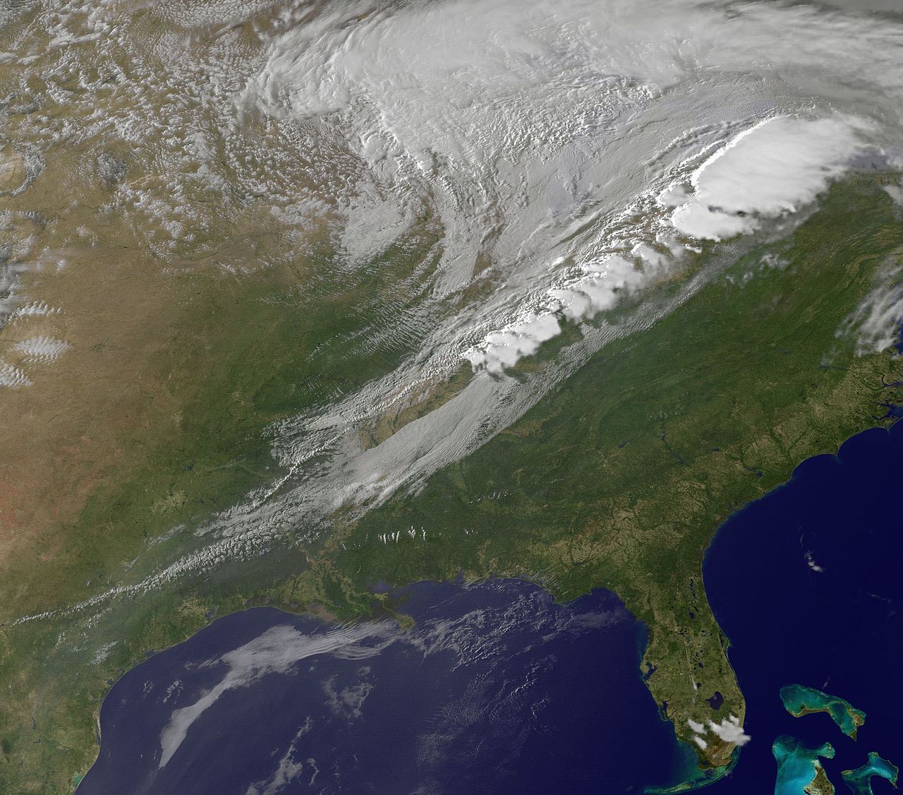
The Washington D.C. metropolitan area is experiencing a significant weather shift today, Thursday, March 12, 2026, as a robust cold front sweeps through the region. This atmospheric change is bringing a rapid decline in temperatures and the possibility of light snowfall, impacting daily routines and travel conditions.
Temperatures are forecast to plummet from the 60s Fahrenheit observed earlier in the morning to the 40s by midday, continuing their descent into the 30s by the afternoon. This sharp drop is accompanied by strong northwest winds, with gusts exceeding 30 miles per hour, contributing to a noticeable chill across the area.
Weather Transition and Precipitation
The morning commute saw widespread rain across the D.C. region. Forecasters indicate that this precipitation is likely to transition into a mix of rain and wet snow during the afternoon hours as the colder air mass fully establishes itself. While significant snow accumulation on paved surfaces is not expected due to residual warmth, elevated areas like grassy lawns and rooftops could receive a light dusting.
Up to half an inch of rain is anticipated before the transition to wintry mix. Wind speeds are a critical factor in the current weather pattern, with gusts reaching up to 40 miles per hour recorded at Reagan National Airport, intensifying the cold and potentially affecting outdoor activities.
Overnight Freeze and Weekend Outlook
Temperatures are projected to fall below freezing across much of the metropolitan area overnight into Friday morning. This could lead to isolated slick spots on roadways and sidewalks as any lingering moisture refreezes, posing a hazard for early commuters. Skies are expected to clear before the evening commute on Thursday, offering a brief reprieve from the precipitation.
Looking ahead to Friday, the region can anticipate a rebound in temperatures, with highs reaching the mid-to-upper 50s Fahrenheit. Conditions will remain partly cloudy and breezy, signaling a return to more moderate weather after the brief cold snap. This weather event, while not severe, underscores the variability of late-winter and early-spring conditions in the Mid-Atlantic region, often characterized by sudden temperature fluctuations and mixed precipitation types.
Regional Weather Patterns
Historically, the Washington D.C. area frequently experiences such cold fronts during the transitional seasons, where warm spells can be abruptly interrupted by arctic air masses. These events often lead to a mix of rain and snow, even in March, as the boundary between warm and cold air oscillates. Local authorities typically advise residents to monitor weather updates and exercise caution during these periods of rapid change, particularly concerning road conditions.
This specific cold front, while not a major winter storm, serves as a reminder of the dynamic atmospheric conditions that can affect the densely populated corridor, influencing transportation, energy consumption, and public safety measures. The rapid temperature drop and gusty winds are the primary concerns, more so than the limited snow accumulation.
Implications
Country Impact: The weather event is localized to the Washington D.C. metropolitan area, with no broader national implications beyond potential minor travel disruptions in the immediate vicinity.
Industry Impact: Transportation and logistics industries in the D.C. area may face minor delays due to wet roads and potential slick spots. Energy demand for heating could see a temporary spike due to the sudden temperature drop.
Market Impact: No significant market impact is anticipated from this localized weather event. Any minor disruptions would be limited to local businesses and services within the affected region.