Michigan Tornado Watch Issued Amid Severe Weather Threat
A tornado watch and severe thunderstorm watch were issued for parts of Michigan on March 24, 2026, by the Storm Prediction Center.
Ayla Demirhan ·
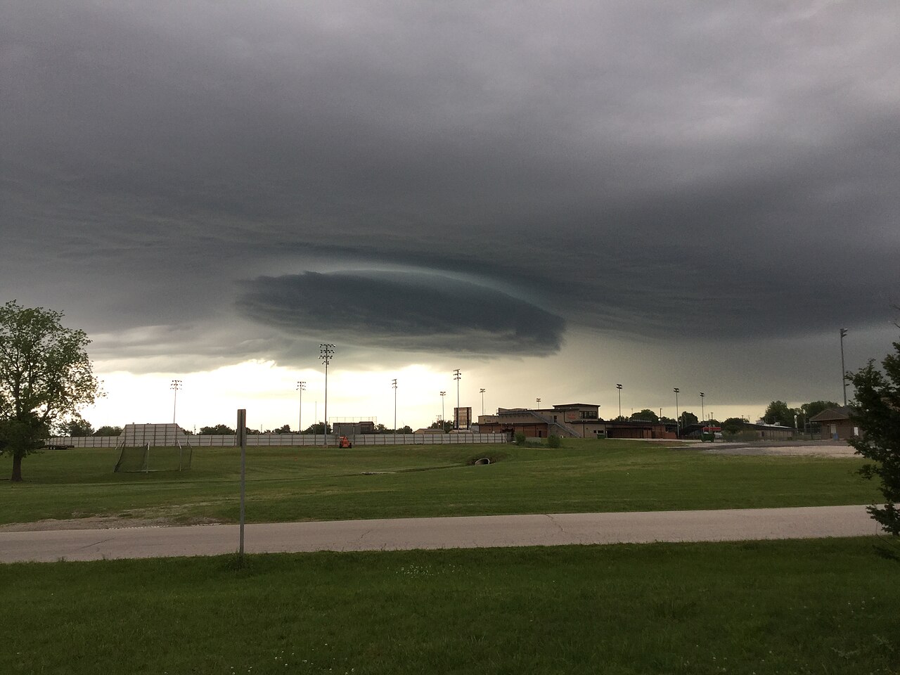
The Storm Prediction Center issued a tornado watch and severe thunderstorm watch for portions of Michigan on Tuesday, March 24, 2026. These alerts encompass counties in the southwestern and west-central regions of Lower Michigan, indicating a risk of significant weather events.
Forecasters anticipate the potential for strong tornadoes, large hail, and isolated wind gusts. The severe weather is projected to intensify during the late evening hours, continuing into early Wednesday morning.
Severe Weather Alerts in Effect
A tornado watch was activated for Berrien, Branch, Cass, and St. Joseph counties, remaining in effect until 2 a.m. Eastern Time. Concurrently, a severe thunderstorm watch was issued for Allegan, Barry, Kalamazoo, Kent, Muskegon, Ottawa, and Van Buren counties, expiring at 1 a.m. Eastern Time.
These watches highlight the possibility of intense weather phenomena. Specific threats include hail reaching up to three inches in diameter, comparable to the size of a baseball, and isolated wind gusts that could reach speeds of 75 miles per hour.
Meteorological Conditions and Timing
Thunderstorm activity is expected to expand and gain strength between 8 p.m. and 10 p.m. local time. This intensification is predicted to persist through the overnight period, posing risks into the early morning hours.
Despite the unusual timing for severe weather in late March, with temperatures potentially ranging from the 40s to 50s Fahrenheit, a robust jet stream core is identified as the primary driver for these storms. This atmospheric condition provides the necessary energy for severe weather development.
Potential for Strong Tornadoes
While elevated thunderstorms typically present a reduced risk for tornado formation, the Storm Prediction Center has not dismissed the possibility of more powerful tornadoes. Specifically, there is a concern for EF2 or EF3 intensity tornadoes, particularly in the southwest corner of Lower Michigan.
Historically, Michigan experiences an average of 16 tornadoes annually, with the peak season typically occurring from May through July. However, significant severe weather events outside this period are not unprecedented, often driven by strong frontal systems and atmospheric instability. The current forecast underscores the importance of vigilance even during atypical severe weather periods.
Public Safety and Preparedness
Local authorities and emergency services are advising residents in the affected areas to remain informed and prepared. This includes having multiple ways to receive weather alerts and knowing the location of safe shelters. The potential for overnight severe weather increases the importance of these precautions.
Such events can lead to power outages, property damage, and disruptions to transportation. The combination of strong winds and large hail poses a direct threat to infrastructure and personal safety, necessitating prompt action from those in the watch areas.
Implications
Country Impact: The severe weather in Michigan highlights regional vulnerability to extreme weather events, potentially impacting local infrastructure and emergency response capabilities. Such events can strain state resources and require coordinated efforts for recovery.
Industry Impact: Industries reliant on outdoor operations, such as agriculture, construction, and transportation, face immediate disruptions and potential damage. Insurance sectors may see an increase in claims related to property damage from high winds and hail.
Market Impact: Local markets could experience temporary disruptions in supply chains and consumer activity due to weather-related closures and safety concerns. Utility companies may face increased operational costs for power restoration efforts.