Strong El Niño Pattern Expected
A strong El Niño weather pattern is forecast to emerge in mid-2026, likely increasing global temperatures and altering regional weather through 2027.
Ayla Demirhan ·
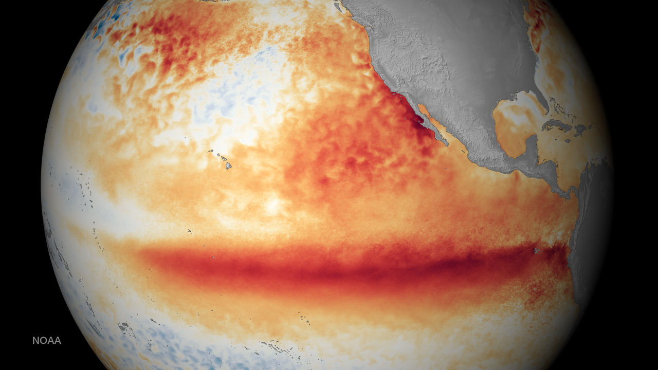
Federal weather scientists predict a strong El Niño weather pattern will likely develop between June and August 2026, persisting through the year and into 2027. The National Oceanic and Atmospheric Administration (NOAA) estimates a 62% probability of this event, which typically leads to elevated global temperatures and altered regional weather patterns.
El Niño, characterized by weakened trade winds allowing warm Pacific Ocean water to shift eastward, contributes to higher average global temperatures. Historically, the hottest years on record coincide with active El Niño periods, as the phenomenon releases heat from deeper ocean layers. This dynamic significantly influenced global temperatures in 2023 and 2024, with 2023 setting a record for the hottest year, subsequently surpassed by 2024.
While El Niño is a natural climate cycle, its effects are amplified by human-caused global warming. A strong El Niño in 2026 is projected to boost temperatures, potentially making 2027 the warmest year on record after 2024. Regionally, El Niño often brings increased rainfall and cooler temperatures to the Southern United States, potentially mitigating droughts and wildfire risks, though not fully replenishing severely depleted reservoirs. Conversely, it can suppress Atlantic hurricane activity but intensifies droughts in other global regions and does not affect Pacific storms.