Pleasant Tuesday Gives Way to Wednesday Showers and Possible Thunderstorms in D.C.
Showers & thunderstorms expected Wednesday afternoon into evening in Washington, D.C. Scattered downpours may impact commutes.
Sophie McAlister ·
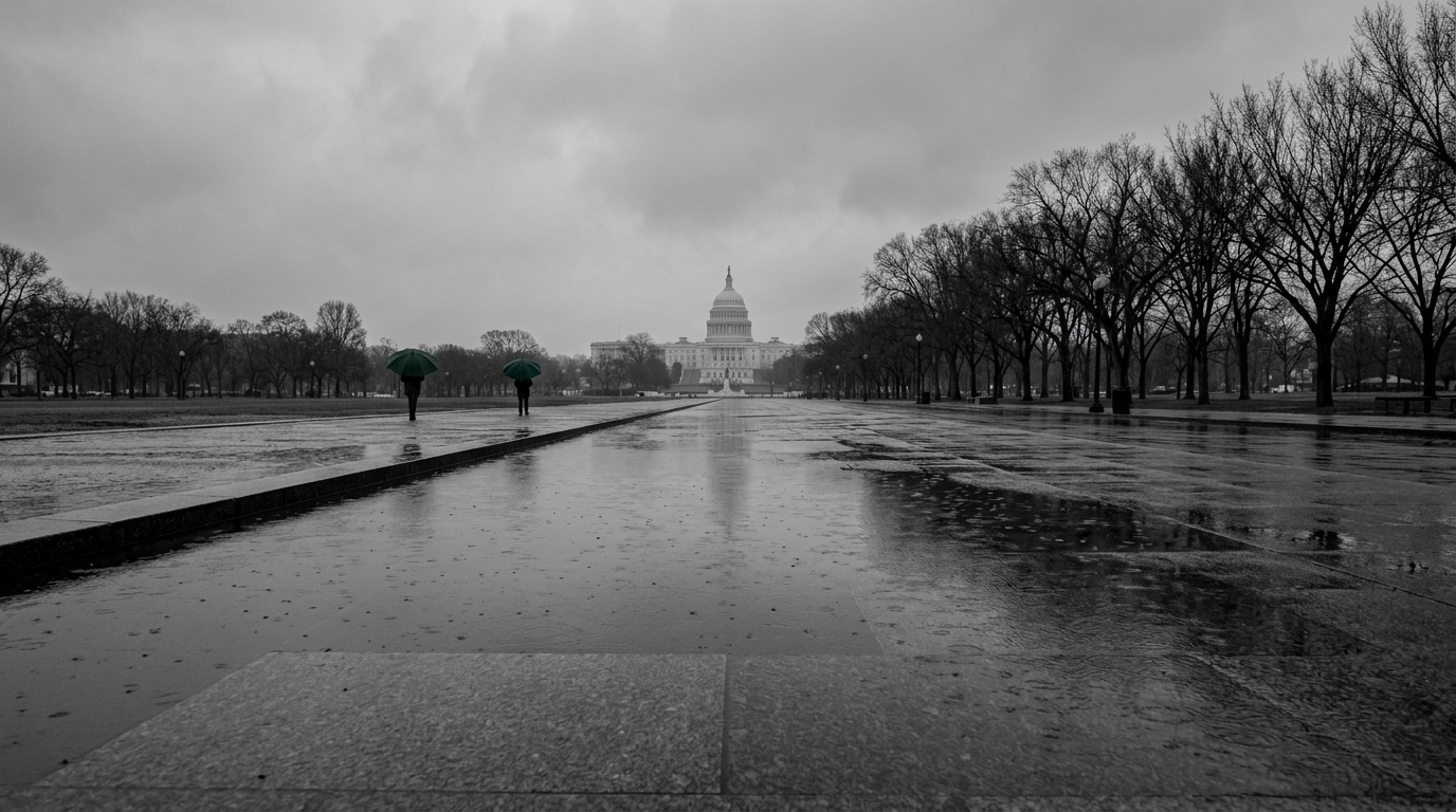
Washington, D.C. residents should expect a sharp shift in weather between Tuesday and Wednesday. A mild, mostly sunny Tuesday is set to be followed by a band of showers that could arrive in the District on Wednesday afternoon and continue into the evening, with forecasters noting a chance of isolated thunderstorms.
The wet period will be intermittent rather than a steady, all-day rain. Showers are likely to develop and move through in pockets, producing brief but potentially heavy downpours and lightning where storms form. The timing—afternoon into evening—means the gloomy window will overlap with evening commutes and many outdoor activities scheduled for midweek.
Timing and likely impacts
Rain and storm chances are expected to begin in the afternoon and linger into the nighttime hours. That pattern raises the prospect of wet roads and momentary reductions in visibility during peak travel times. Organizers of outdoor events and people with evening plans should prepare for the possibility of showers or a thunderstorm interrupting activities.
Not all areas of the District will see the same intensity. Some neighborhoods may only receive a few sprinkles while others could experience heavier cells that bring short bursts of heavy rain and thunder. Urban flash flooding is not being highlighted as a widespread concern, but localized standing water on poorly drained streets and in low-lying spots remains possible during intense downpours.
How the rest of the week shapes up
After the midweek system passes, conditions are expected to trend warmer later in the week. The late-week pattern looks sunnier and milder, which should restore good conditions for outdoor dining, construction work, and weekend planning. That rebound means Wednesday’s showers are likely to be a brief interruption rather than the start of an extended unsettled spell.
Public transit users and drivers should allow extra time on Wednesday afternoon and evening in case of slower travel through wet corridors. City event planners and hospitality operators who rely on outdoor seating or programming should have short-notice rain plans and consider temporary coverings or flexible scheduling.
Forecasters will refine timing and storm probabilities as the system approaches; those with vulnerable outdoor plans or time-sensitive commutes should check updated forecasts and alerts before heading out. Local weather updates and any advisories will provide the best guidance on the expected timing and intensity for specific neighborhoods.