DC Office of Planning publishes Buzzard Point neighborhood profile and planning resources
Buzzard Point neighborhood profile by DC Office of Planning. Find planning context, boundaries & resources for residents, developers & planners in SW DC.
Sophie McAlister ·
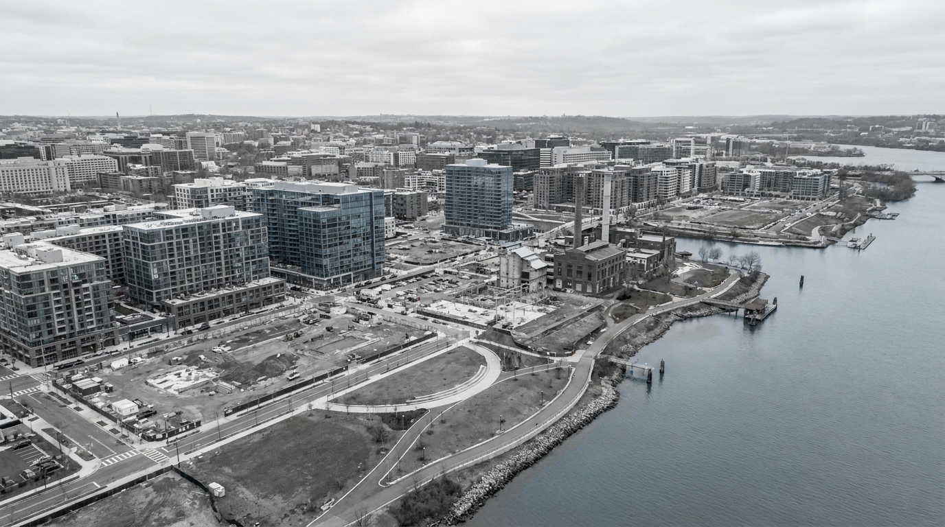
The DC Office of Planning hosts a public neighborhood profile for Buzzard Point, a small area in Southwest Washington, D.C., on its official website. The page presents a concise overview of the neighborhood’s geography, planning context and resources for community members, stakeholders and developers. The profile is published and maintained by a city planning agency that oversees land-use guidance across the District.
The Office of Planning’s Buzzard Point page describes the neighborhood’s location along the Anacostia River in Southwest D.C. and provides reference material used in small area planning and development review. The profile is part of the Office of Planning’s broader online toolkit that organizes planning documents, maps and contact information for each neighborhood the agency tracks, according to the city’s planning office.
Planning context and public resources
The neighborhood profile collects public-facing planning resources, including maps, zoning references and links to past planning reports that have shaped Buzzard Point’s redevelopment. The Office of Planning uses these profiles to summarize locally adopted planning guidance, to make background materials accessible for residents and for parties interested in development or public projects in the neighborhood.
By centralizing planning documents, the page aims to reduce friction for residents seeking information about ongoing or proposed changes in Buzzard Point. The Office of Planning’s materials serve as a starting point for community members preparing to engage with neighborhood planning, permit reviews, or public meetings tied to land-use decisions.
Neighborhood boundaries, recent projects and accessibility
The profile identifies Buzzard Point by its general boundaries in Southwest D.C. and situates the neighborhood relative to nearby waterfront and mixed-use corridors. It also highlights links to recent planning efforts and public documents that reference transportation access, open-space planning and redevelopment considerations, per the Office of Planning’s online content.
The office’s page is presented as a living resource: it compiles official records and links rather than announcing a single new initiative. That makes it useful for those tracking project proposals, zoning petitions or small area plans that affect Buzzard Point.
Watch for updates to the Office of Planning’s Buzzard Point profile whenever the city posts new planning reports, releases amendments to small area plans, or when developers submit formal zoning or permit applications that trigger changes to the materials linked on the page.