Northern Territory Flooding Forces Evacuations, Road Closures
Heavy rainfall in Australia's Northern Territory has caused widespread flooding, forcing evacuations and closing major roads and schools.
Ayla Demirhan ·
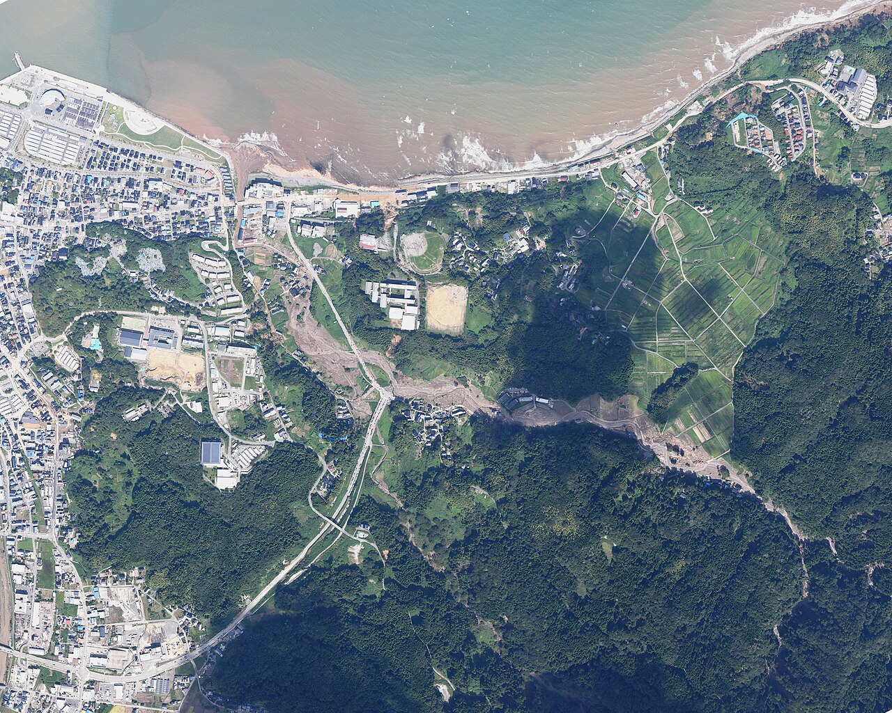
Heavy rainfall has triggered significant flooding across Australia's Northern Territory, prompting the evacuation of hundreds of residents and the closure of critical infrastructure. Communities situated along major river systems, including the Daly, Katherine, and Georgina, have been severely affected since early March. This event marks one of the most substantial flood occurrences in the region in over two decades.
Authorities have issued major flood warnings for several areas. The Daly River, for instance, exceeded its major flood threshold and is projected to reach or surpass 15.3 meters by Wednesday, a level not observed since 1998. Similarly, the Katherine River peaked at 19.2 meters on Saturday, its highest point since 1998, leading to widespread inundation of urban and low-lying zones.
Evacuations and Infrastructure Disruptions
Emergency services have facilitated the relocation of hundreds of individuals from communities such as Palumpa, Jilkiminggan, and Nauiyu (Daly River) to Darwin. This proactive measure aims to ensure public safety amidst rising water levels and potential hazards. The scale of the evacuations underscores the severity of the flood conditions.
Educational institutions have also been impacted, with at least seven schools in Katherine and five in the broader Big Rivers region temporarily closing their doors. These closures affect numerous students and families, disrupting daily routines and requiring alternative arrangements for education.
Public Health and Transport Concerns
Public health advisories have been issued for several affected towns, including Katherine, Wugularr, Tindal, Palumpa, and Nauiyu. Residents in these areas have been advised to boil their water due to concerns about potential contamination of the water supply by floodwaters and wastewater. This measure is crucial for preventing waterborne illnesses.
Major transportation arteries across the Northern Territory have experienced significant disruptions. Key highways, including the Stuart, Victoria, Roper, and Buchanan, have sections closed to traffic. These closures impede travel, logistics, and access to essential services, affecting both residents and commercial operations.
Meteorological Context and Outlook
The intense rainfall is attributed to tropical low-pressure systems that have delivered substantial moisture to the region. Over the past five days, the Daly River police station recorded 571.5mm of rain, while the Katherine Bridge weather station registered 241mm. These figures highlight an unusually wet period for the Northern Territory's wet season, which typically extends until late April.
The current weather patterns indicate a continuation of conditions conducive to heavy precipitation, suggesting that flood risks may persist in the coming days. Authorities continue to monitor river levels and weather forecasts closely to provide updated guidance and support to affected communities. The long-term recovery efforts will likely focus on infrastructure repair and community resilience building.
Implications
Country Impact: The widespread flooding in Australia's Northern Territory places significant strain on regional emergency services and infrastructure. Economic activity in affected areas, particularly agriculture and tourism, faces immediate disruption and potential long-term recovery challenges.
Industry Impact: The agricultural sector, particularly cattle and horticulture, is vulnerable to crop damage and livestock losses due to inundation. Transport and logistics industries face delays and increased costs from highway closures, impacting supply chains across the region.
Market Impact: While localized, the event could marginally impact commodity markets if agricultural output from the region is significantly curtailed. Insurance companies may face increased claims, potentially affecting their regional profitability and risk assessments.